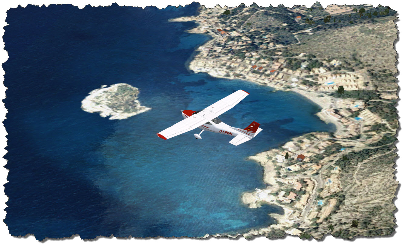
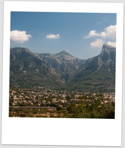
I must admit: I would have never thought I’d do a tribute to Mallorca – for many years, when the name came up, my first thoughts were those of tourists – two thirds drunk, the other two thirds sunbathing on a beach like canned sardines. And yes, before you question my math: one thirds would have been sunbathing drunk…
Then, we went to Mallorca twice and I decided that I like the island – despite the touristy patches. But mostly for the general setting. Today, I have combined that affection with one of my hobbies, flight simulation.
Flight Simulator X Add-Ons & Flight Plan
The flight is taken with a couple of add-ons running: Flight1’s Cessna 182 and Aerosoft’s Mallorca X Scenery namely.
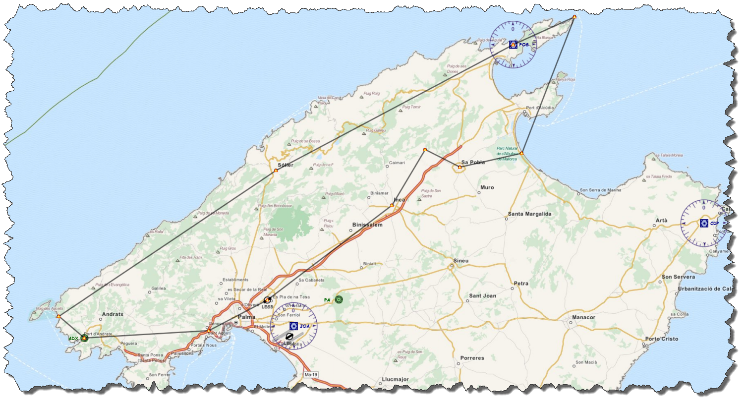
The planned flight is starting and ending on the airport of Son Bonet. Flying clockwise, I will depart to the south, pass Palma, visit Port d’Andratx and St. Elm and then head up the mountains all the way to the northern Cap Formentor. From there , it is back via Alcudia and Playa de Muro to the airport, with a short detour to some touristy spot and Inca.
 Take her to the Skies
As LEPA – the ICAO Code for the Palma de Mallorca Airport – is too busy to worry about my small Cessna (and I am too relaxed to deal with handling the controllers at a large airport), my destination point is the smaller airport of Son Bonet, LESB.
 My Cessna – showing the German registration D-EPWH – is still parked on the apron, cold & dark. The Fligh1 Cessna is equipped with a Garmin 1000 Glass Cockpit – which makes her look & feel modern, yet she is easy to control and command.
Son Bonet has a single runway – direction 05/23 – where I am taking the northbound departure, heading 053°.
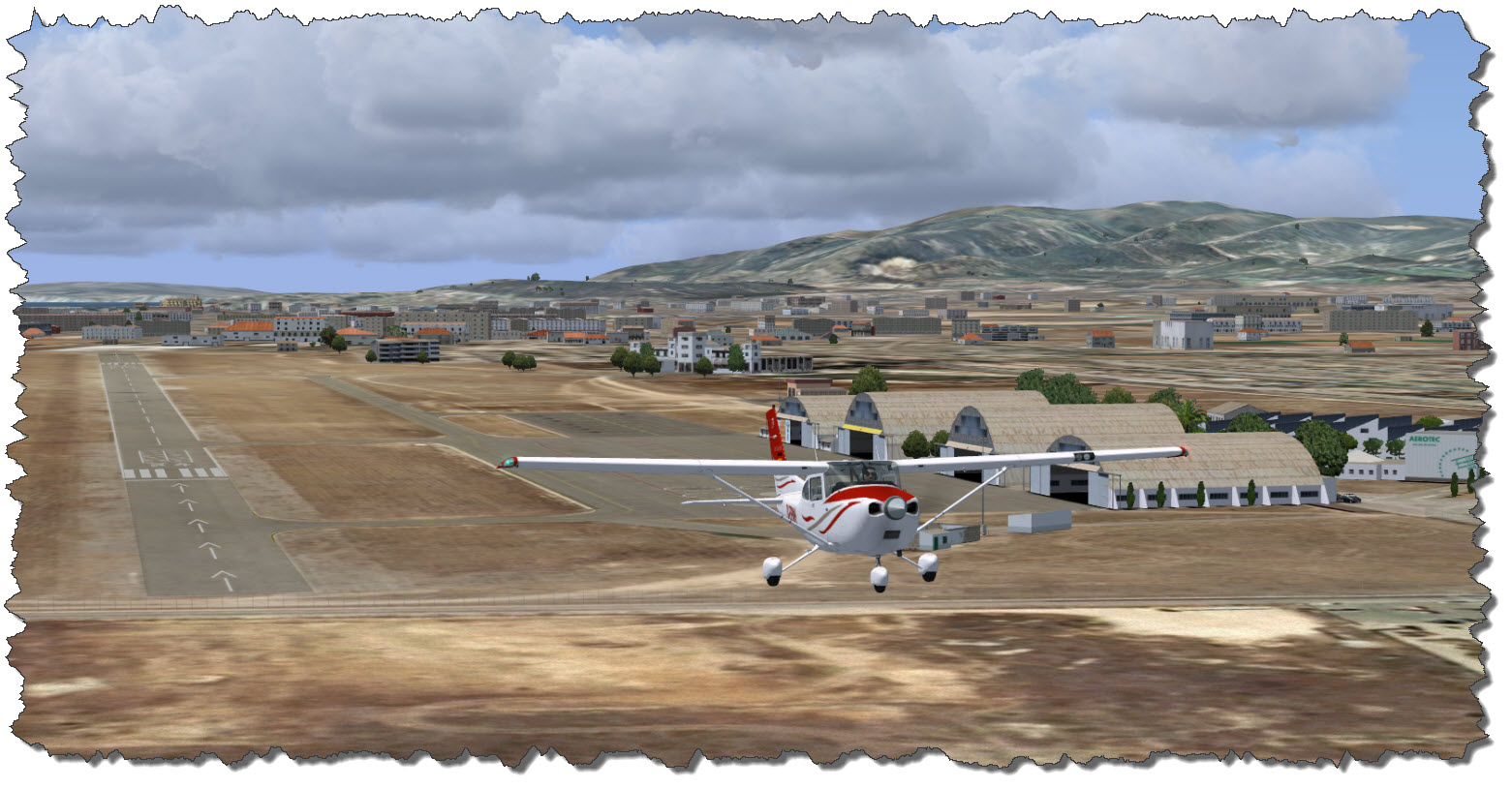 Climbing easily into the morning sun, the little Cessna is quickly gaining altitude. Crossing the MA-13 highway, I am starting my 180° turn to head back towards the general direction of Palma de Mallorca – a turn which brings me almost over one of the big outlet centers, Festival Park.
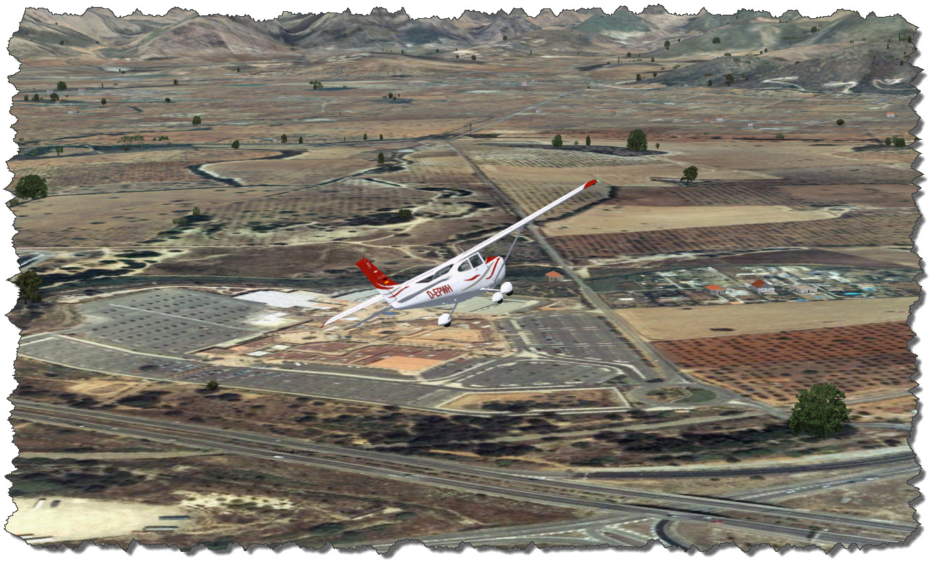 While outlet shopping is not an option today, if you come to Mallorca and your family has the need to spend some money – here is a potential crime scene 😉
On my way towards Palma, I am following the Ma-13, then the Ma-11 (which is the ring around Palma) to the west to finally meet Ma-1 which will lead me to Port d’Andratx.
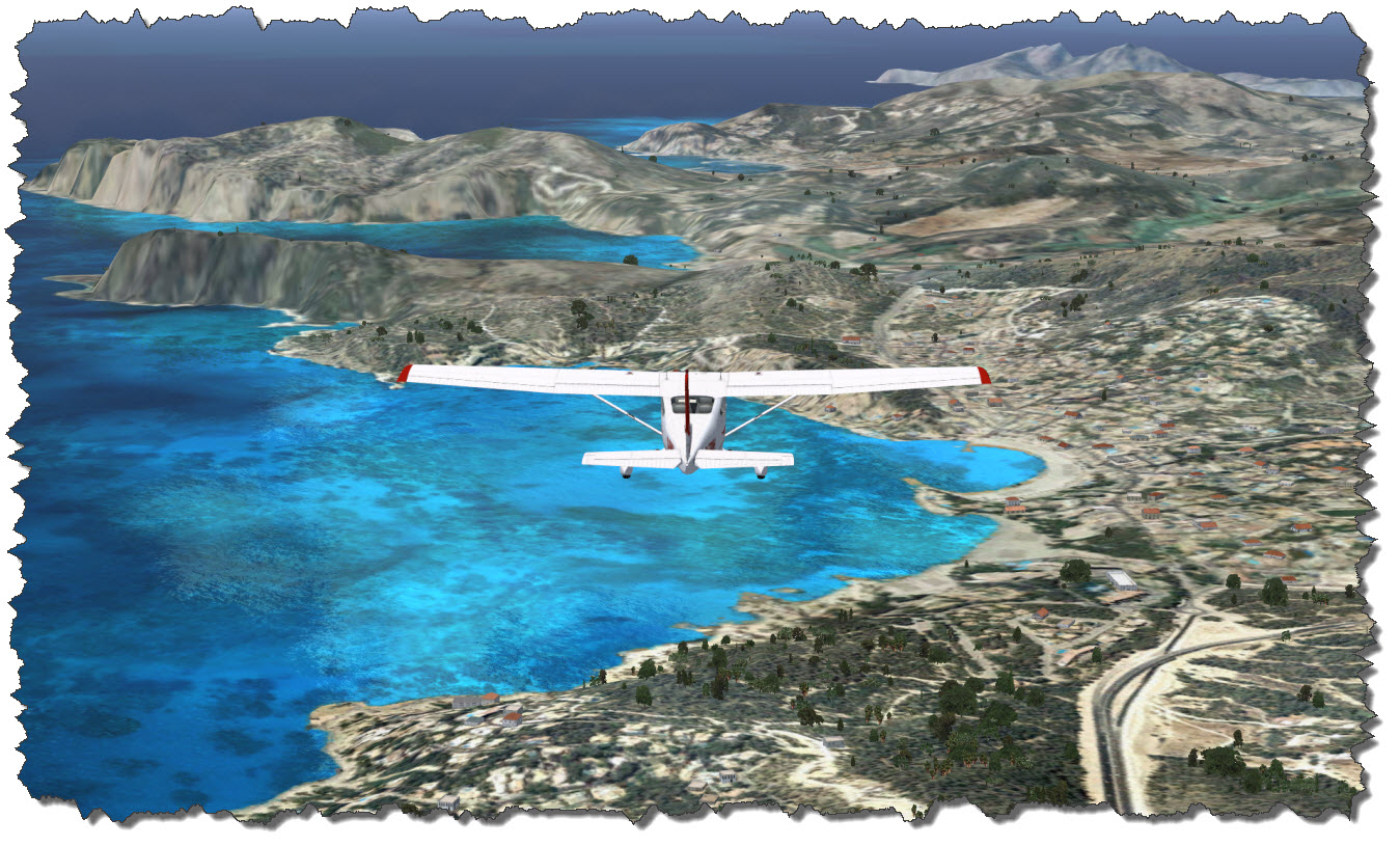 Aerosoft’s Mallorca X Scenery is really adding to the sights – if you like photo-real textures. By car, the trip from Palma to Port d’Andratx takes about 30 minutes – give or take a bit. The Cessna is making it in just about 8 minutes.
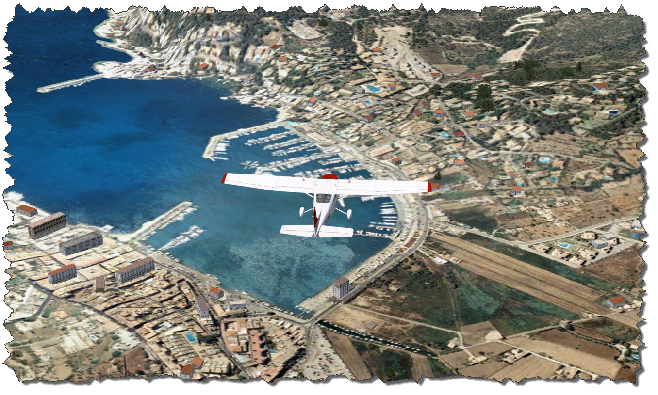
 Looking down at where I had been just three weeks ago, all the strengths and weaknesses of flight simulation become obvious: you can navigate, even VFR. You can recognize, even small details – but you cannot compare it to a real flight – and although you should never say never, it is still a long way… but hey, I once wrote an article about the long way of flight simulation… so maybe in another 20 years?!
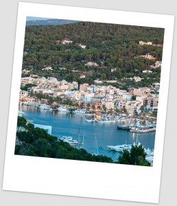
The picture to the left shows the real Port d’Andratx – the two piers in the right of the image are the two piers in the image above, stretching under my left wing…
So what is wrong with Port d’Andratx? Well – nothing really:
- the small parking lot in the corner of the harbor: it is there (exactly in the middle, at the lower edge of the image).
- the local supermarket – it can be seen (if you know where it is).
- the Port Building with the fish market – can be seen, although some dynamic scenery building is partially covering it.
- the hills with the Fincas on the far end of the bay – can be seen but the LOD for the mesh becomes obvious
- the dynamic scenery building – they are too large for the scenery – way too large if you compare them to the aerial image.
So if dynamic scenery is an issue – switch it off?! Yes, that might be an option – but then the landscape is too flat – it also eliminates trees and such. So could this be enhanced? Maybe – but it would require much more processor and graphics power than we may have today – and much more data to be gathered or artificially generated…
- the mesh would have to be enhanced – Port d’Andratx is a place where this becomes quite obvious, with all terraces and steep cliffs along.
- the clarity of the ground image would require an improvement and one would have to find a solution of the perspective errors when mapping a top-down image over a mesh (parts of the image cover the invisible vertical areas of the mesh).
- finally, houses and other buildings would require a much more sophisticated “artificial intelligence”: as it is impossible to reconstruct just every house within the scenery, we would need algorithms to create objects that match in shape, dimension and outer appearance – not 100% but enough to provide the vision from lets say 500m away…
Nonetheless: this is still far better than the out-of-the box landscape of the default FSX…
Leaving Port d’Andratx on a course west-northwest, I am crossing the hills and head for the small town of St. Elm.
St. Elm is a lovely little place – touristy as hell and if it would not be for the tourists, the place might not even be noticed…except for its beautiful bay and the views of the opposing island, Sa Dragonera.
 From St. Elm, it is up the coast east-northeast. Along the coast, small villages and touristy spots are placed – some of them recognizable from the scenery which is developing around me: Estellencs, Banyalbufar, Valldemossa and Deià, to name a few.
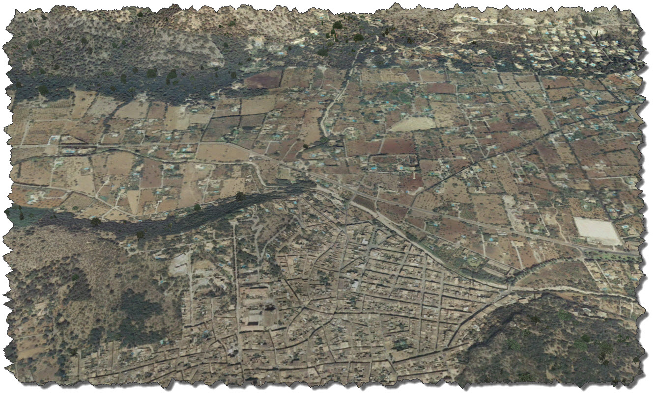
Flying up the coast, the same feeling of “how magnificent would a more detailed mesh be” comes up – the true nature of the beautiful coastline can at best be imagined – here, the lack of detail becomes the most obvious.
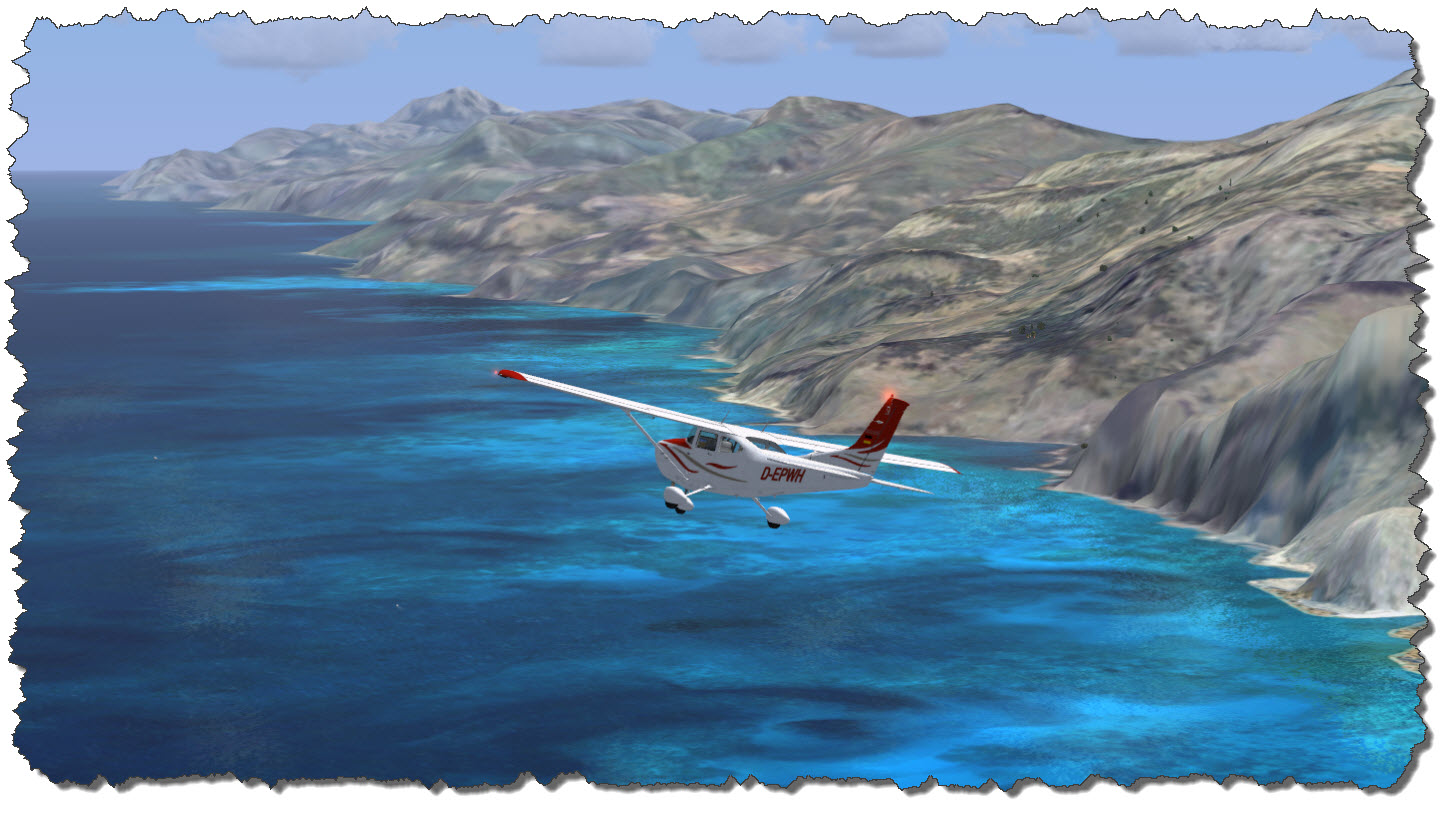 This is – by no means – any criticism on the scenery developers – they have done a wonderful job with what FSX allows them to do! It merely shows that no matter how far we have come in the past 20 years, there still is major room for improvement! But one thing needs to be mentioned: the more direct the view is “down to earth”, the better the results are.
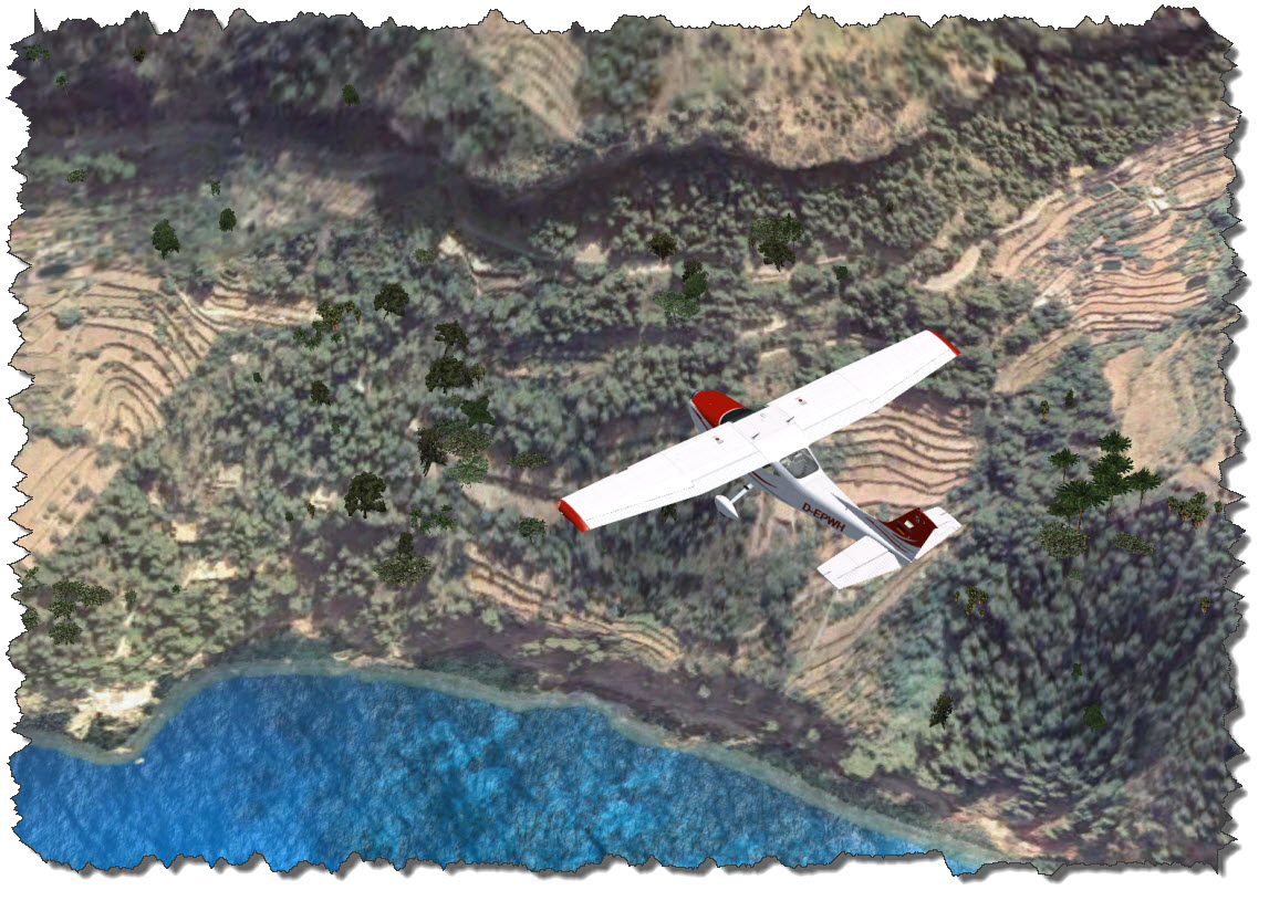 The picture above is actually pretty close – the terraces that allow the people in the area to grow tomatoes, fruit and wine clearly stand out – unfortunately, the image degenerates if looked at from a more shallow angle, as the one you would have when flying over the landscape.
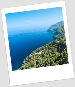 The real coastline, however, is a true eyecatcher as you can see on the photo to the right.
The blue of the ocean, the gray of the stone and the green of the trees just blend in so perfectly on a sunny day, you can stand there for ages and just enjoy the landscape.
You can also see how rugged the coastline really is – no chance to cover this in detail with a mesh our computers are currently able to handle.
Situated between some of the larges peaks on the island, the town of Sóller comes up on the horizon – as many of the old towns, it is situated inland with a smaller part forming the original harbor – Port de Sóller.
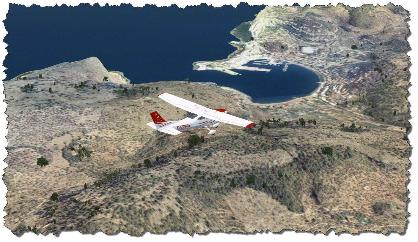 Flying over the town, it is time to climb to a higher flight level – so far, I have been leisurely cruising at about 2500ft, not high enough to clear the mountains ahead of me – including the highest one on the island, Puig Major – 4741ft (or 1445m) above sea level is just the perfect place for a radar station – thus, the mountain is a military zone, off limits.
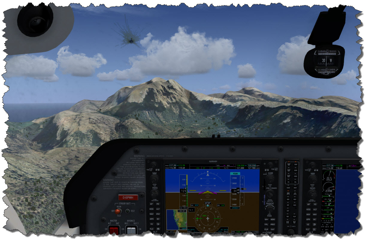 These peaks are the highest region of the Serra de Tramuntana, the mountain range covering the north-eastern coast of the island.
Sóller is one of the larger towns on Mallorca – about 7000 people living here, mostly on tourism and agriculture.
The valley has long been a spot to grow fruit well and the climate makes for good harvests: oranges, citrons and olives have been among the main trading good for Sóller from the days of the Roman Empire and until today.
Up here, reservoirs have been created to help with the freshwater supply of the island – two of which I am now flying over.
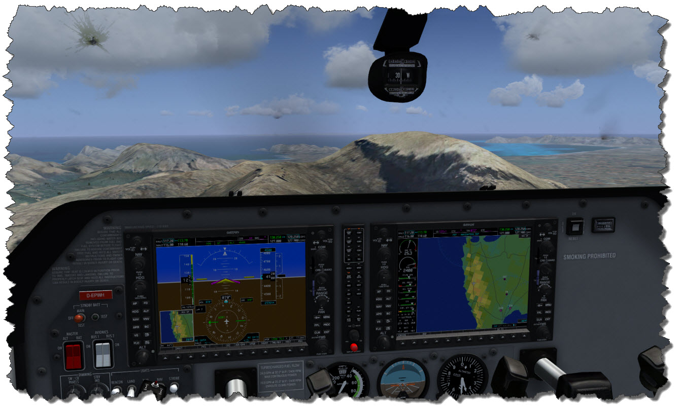
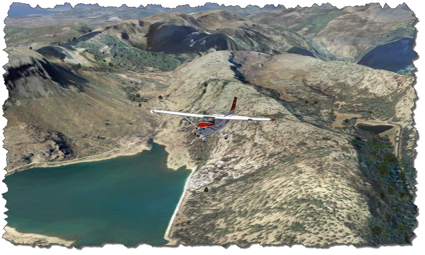 From here, it is all downhill, so to speak. In the north, the view opens and I can start seeing Cap de Formentor and the Badia d’Alcudia – the northern coast of Mallorca, stretching from Port de Pollenca to Ca’n Picafort with the city of Alcudia being the center of the region.
 Following the Ma-10 through the mountains, I am finally reaching Pollença with its narrow and compact old town and the famous 365 step stairway to Calvary hill.
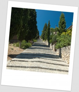 When I was there, it was a hot August day, around noon and my wife and me walked the stairs up all the way to the top – but we took our time and we had been rewarded with some great views along the street.
One advice: there is nothing along the street but private homes so you need to bring your own water and refreshments – there is nothing to buy up there! And take your time – uphill all the way in the sun takes its toll so be careful, take your time and plan for some stops in the shade of a tree – you will need them!
Seen from above, it does not seem to be as bad as when you have to walk it in the scorching sun.
 I am following my route north-east, rounding the Formentor peninsula, another of the scenic highlights of northern Mallorca.
 Once more the complexity of the landscape is defied by the limitations of the mesh – seeing it in Flight Simulator is nowhere close to seeing the real thing. If you get a chance – take it!
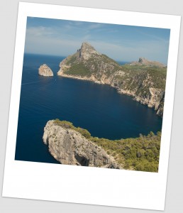 This is what Cap Formentor looks like in reality – or at least the peninsula leading up to it.
If you go, you go by car. And if you go by car, you need someone in the passenger seat who is able to stand some real tight turns and narrow roads, all the way along the edge of the cliff, falling into the sea.
The drive out there is nice and as the driver you can concentrate on the road – but everyone else in the car will have sufficient time to consider the “What if..?” question…
From here, it is straight across the Alcudia Bay towards Playa de Muro – a part of the beaches stretching from Alcudia all the way to Ca’n Picafort.
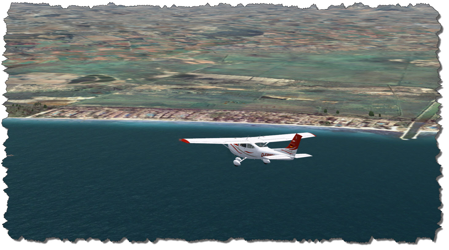 While the touristy places govern the coast, the Hinterland is reserved for the birds: the natural park S’Albufera is a safe heaven for birds on their journey to and from the south, very popular with bird watchers.
From here, it is inland – turning west, back towards the mountains for one last spot to visit on this trip.
 The last sight seeing item on the trip is one you cannot actually see from the air – or from above earth, for all it matters: the Coves de Campanet.
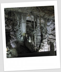 The cave can be walked in a guided tour of about 40 minutes in length – and it is well worth it. You might want to time your visit to fall into the hottest part of the day – the cave is cool, chilly even so you might also wanna bring some warmer cloth, even if you will not need outside 🙂
By car, getting there is merely a matter of navigation – the entrance to the caves is a bit hidden but I did not have an issue finding them by map and signs (and I had a navigation system, I have to admit).
In my Cessna, the approach is a bit tricky, me flying along at about 100ft and straight towards the mountains – it requires a sharp left-turn to avoid hitting those hills!
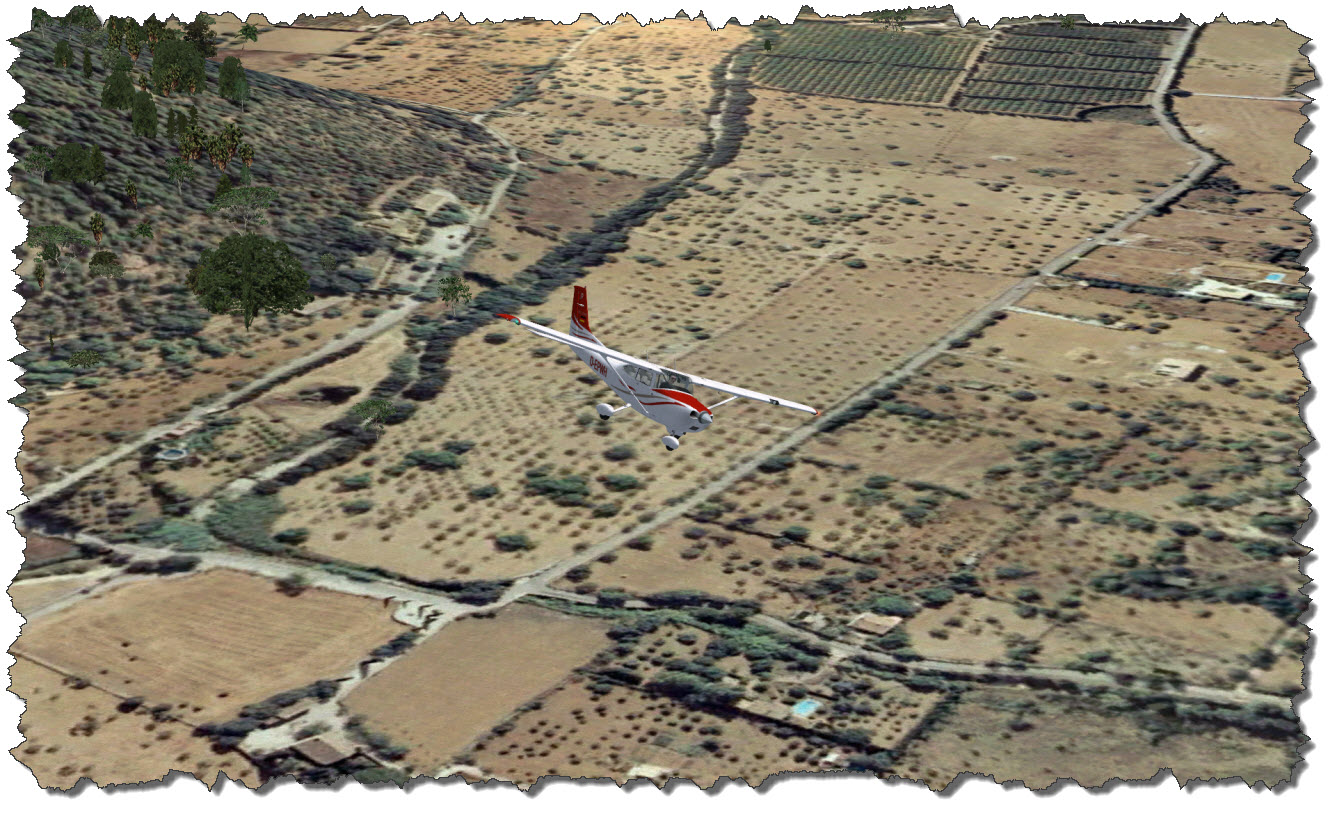 Leaving the area and turning south, I am heading for the town of Inca. The town is known for wine and leather – the latter you can buy in a couple of outlet stores but be aware: the prices are not necessarily cheap, they are just good…
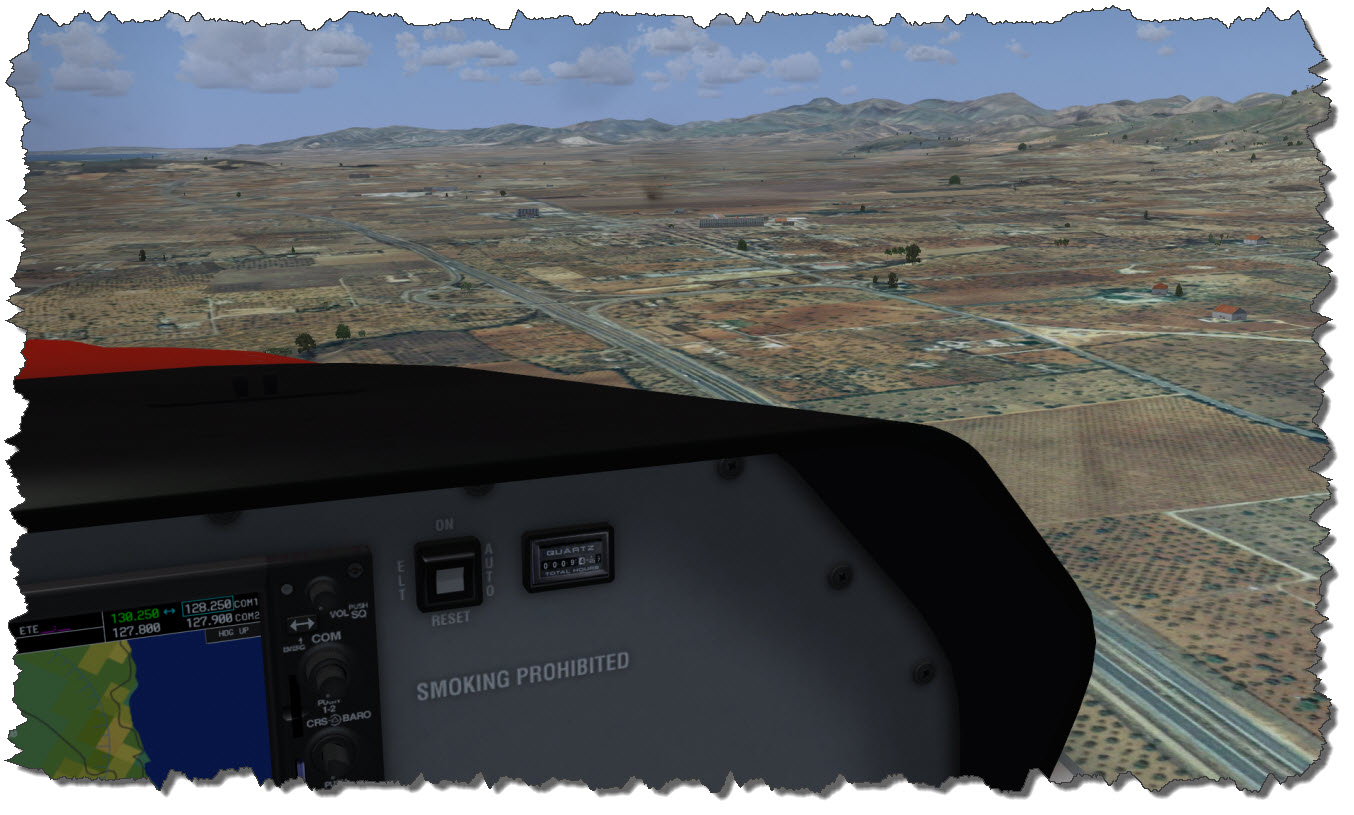 From Inca, it is all the way down Ma-13 back to where my trip began, back to Son Bonet. About 70 minutes after I started up the engines of the Cessna, I am on my final approach back to the Airport, Runway 23 it is this time.
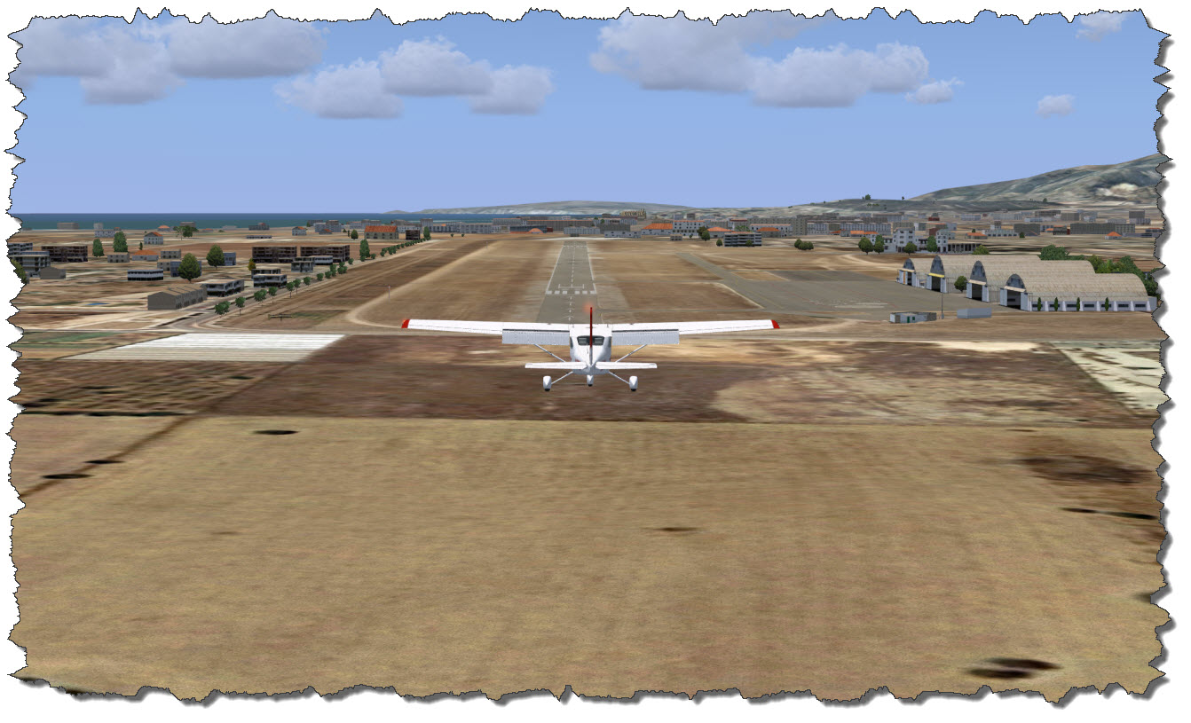 After a safe and spot-on landing, I taxi the Cessna back to the parking area and hand over the aircraft to its owner, the leasing company. I have very much enjoyed my trip of the mountains and northern parts of Mallorca – I may just return for a second trip to cover the rest of the island…

