ORBX – From 1WA6 to KJAC

I have not been using my Flight Simulator for quite a few month – no time, other interests, other problems. But now, when the nights get longer and the weather outside nastier, it is time to return.

Updates & New Products

While I was “offline”, some updates to products I had purchased previously and some new products that got my interest have appeared with ORBX:

  • The airport of Jackson Hole (KJCA) was released – this is of particular interest for me because I had been in the Grand Teton Range before and immensely enjoyed it.
  • The airport of Fall City (1WA6) – one that I wrote about earlier – has received some updates that are worth exploring.

And I always wanted to extend my trip discussions through the Pacific Northwest, one of which I had published previously.

Flight Planning

Having said all that, the logical choice is a flight from Fall City to Jackson Hole. Given the size of the Fall City Airport, the aircraft of choice is my favorite Cessna T182T, kindly sold to me by Flight 1 via aerosoft.

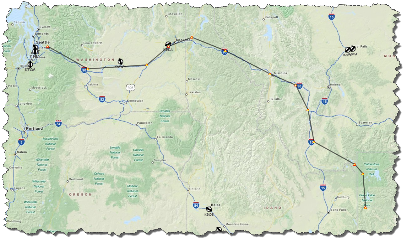
As the crow flies, the trip is about 520 NM, roughly four hours for the Cessna. But who wants to fly like the crow?

The idea is to leave 1WA6 on a  course to the east-southeast, following the Interstate I90 all the way to Spokane. Past Spokane, I will be crossing the border into Idaho, still following I90 to Missoula and on to the intersection with I15 which will lead is southward.

Near Dillon, I will leave the Interstate and cross the mountains to West Yellowstone. From there, it is across the Yellowstone Park and following Hwy. 191 southbound to the Grand Teton Range and Jackson Hole.
Fall City Airport Version 1.20

I have liked the looks & feel of Fall City Airport the last time I talked about it – I still believe that not everyone needs moving grass and trees swinging in the wind – and now, with Vehicle Flow included – driving cars… but it surely looks nice!

I had not found may issues the last time I was flying from and to 1WA6 – the only one that I do remember was a bug that crashed me in the middle of the runway during takeoff run – this one was only to be avoided by switching off FSX Crash Recognition. This time, flying with Crash Recognition switched on, I had no issues getting the plane off the ground… so this one seems to be fixed.
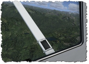
Flying out of Fall City towards the east is not as straight forward as one might thing: the elevation is quickly gaining and unless you are flying a jet (which the runway is too small for!) you will have to find your way through the valleys to gain altitude before setting for your direct course eastbound.

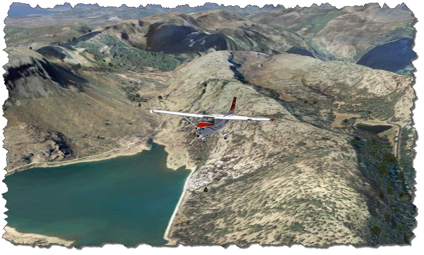
But when you are on safe ground, that is having a clear path ahead of you, you are rewarded with some spectacular sights on the nearby mountains and lakes.

En Route to KJAC

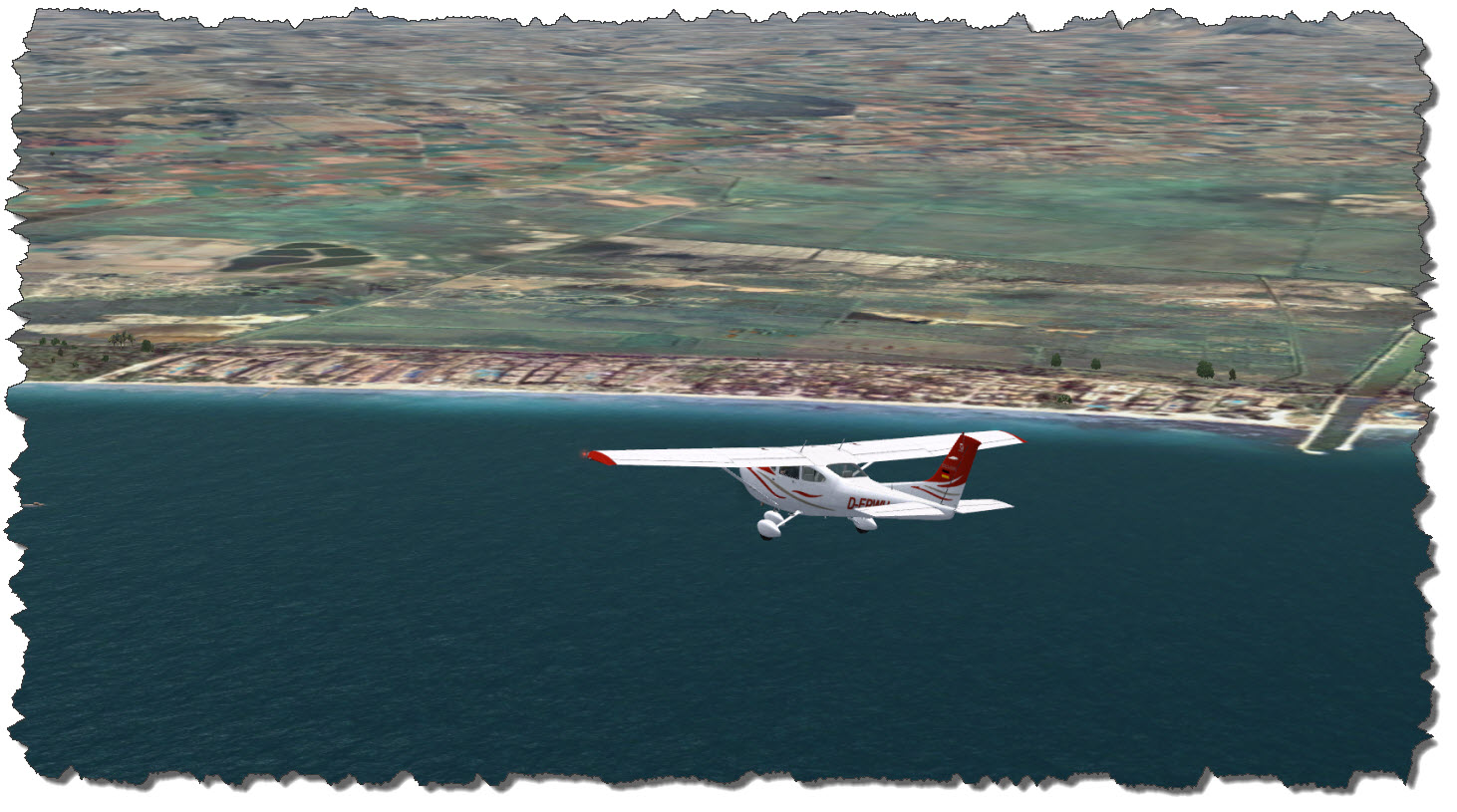
Flying east, the mountains withdraw a bit – the area around Ellensburg is a basis that stretches almost to the Columbia River. From here it is a mere 120 NM to Spokane, the next big mark on I90 eastbound. Meanwhile, I have also reached my cruising altitude of 15,000ft, now quickly gaining speed.

Passing Spokane and the Fairchild Airforce Base, it becomes obvious that this great airbase has not been modeled in the ORBX Scenery – the nearby Spokane International Airport has at least received terminal buildings and hangars and AI Traffic – but Fairchild is deserted and almost plain.

A bit after I have been passing Spokane, the great plains of the north west end – I am back in mountain country, heading for the city and airport of Missoula.
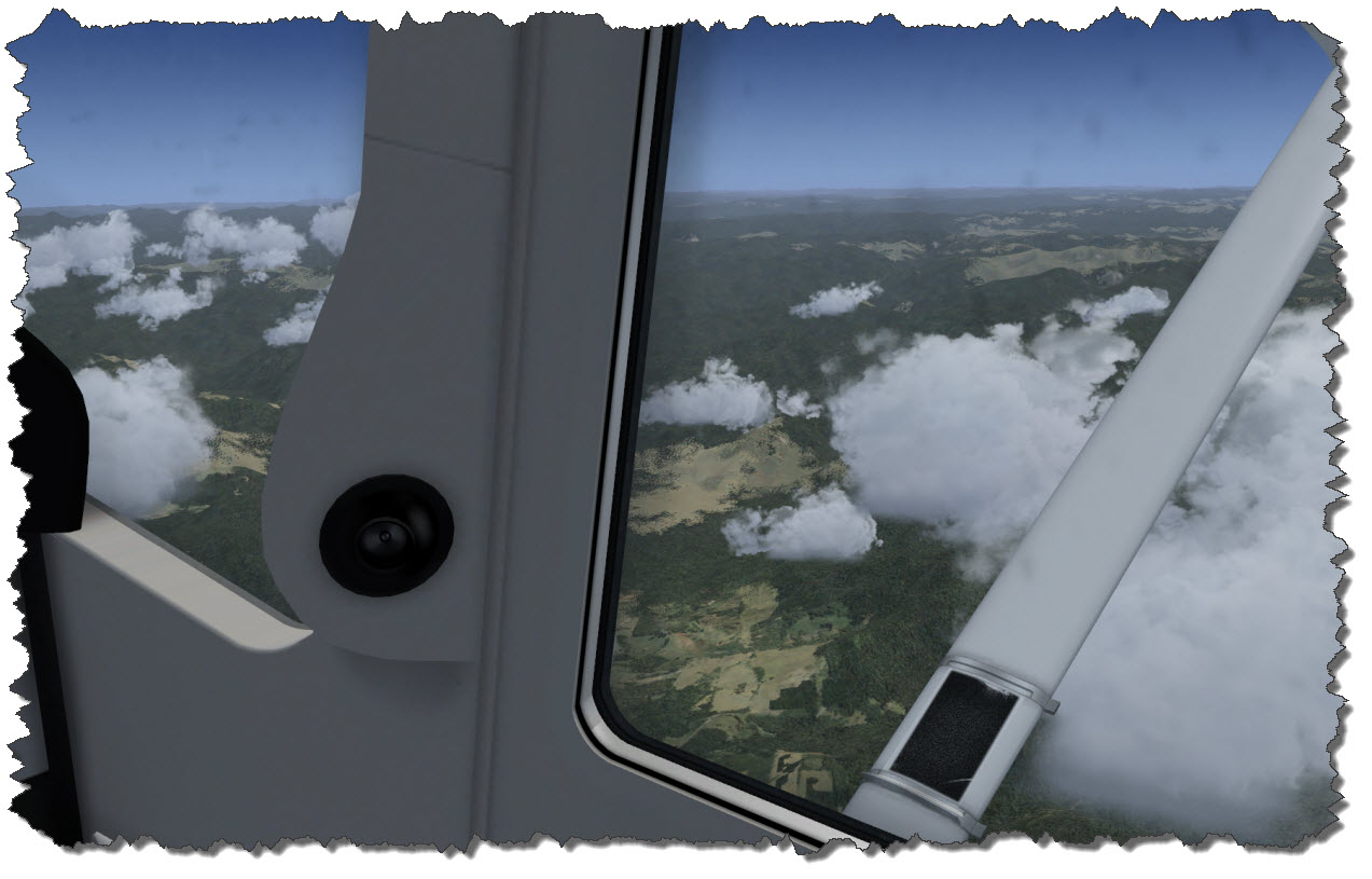
Near Drummond, it is time for me to leave I90 – I take a shortcut southbound, directly towards the I90/I15 junction.
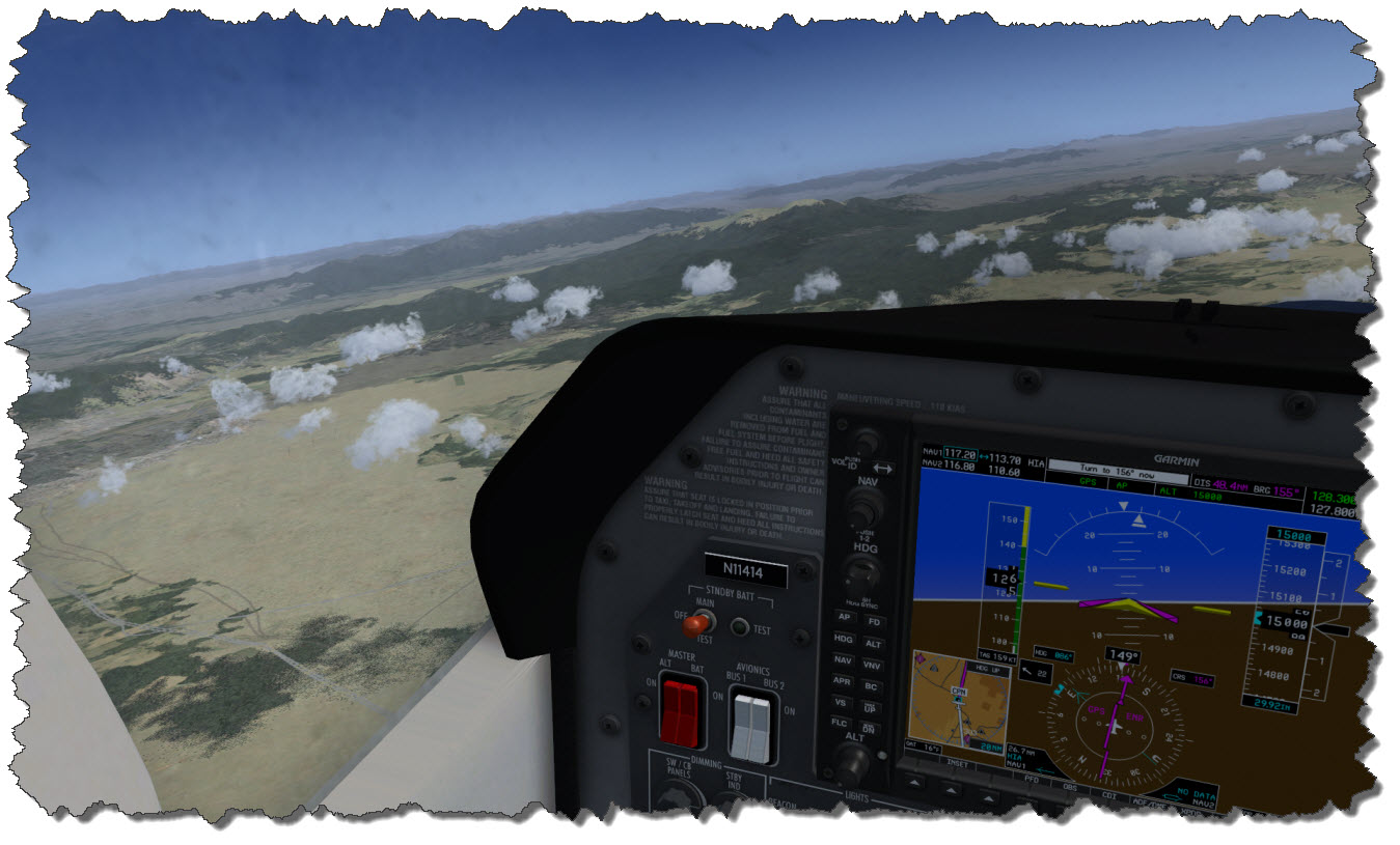
With the Interstate  Junction clearly in sight, it is time for me to turn to the south – towards Dillon which is another 50 Miles or so… and then to venture over to Yellowstone National Park.

Dillon, I have to admit, is in the middle of nowhere (those that live around there and read this may forgive me) like so many other places up here.
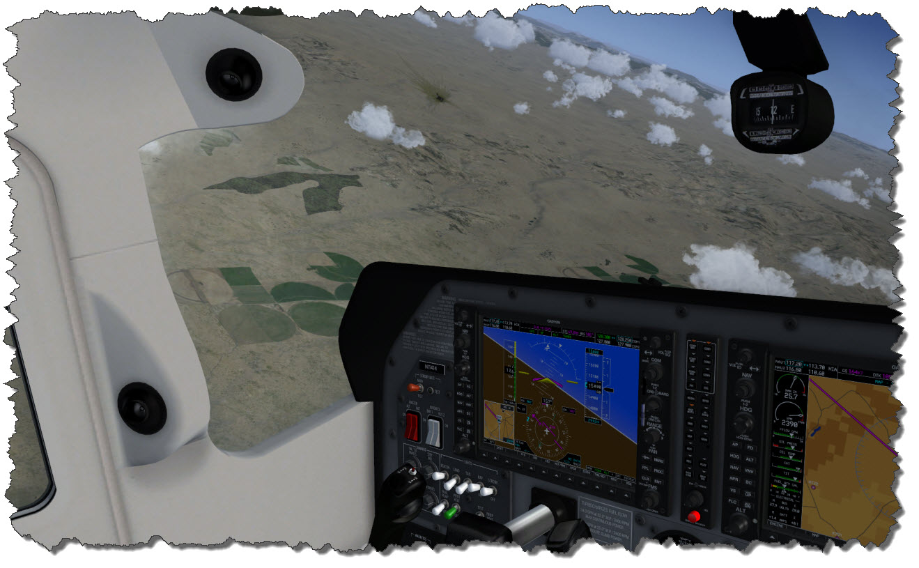
But now it seems as if the ground is slowly creeping up towards me – Dillon’s airport (KDLN) is at 5,200ft, West Yellowstone’s airport (KWYS) is at 6,650ft. And between me and that airport are some of the higher mountain ranges… but my 15,000ft should be just fine.
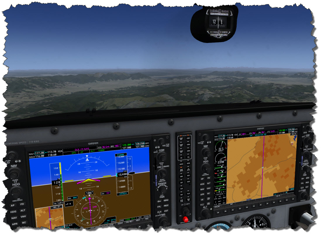
By now, weather has been giving in to the needs of the photographer (or in other words: to get my screenshots I have removed the cloud layer…) and in the distance, I can already see the Grand Teton Range coming up.

Yellowstone Park

Crossing West Yellowstone and heading into the park, famous attractions such as Emerald Pool or Old Faithful become visible from above. ORBX has done a superb job blending those areas as photo textures into the otherwise landclass-based scenery.
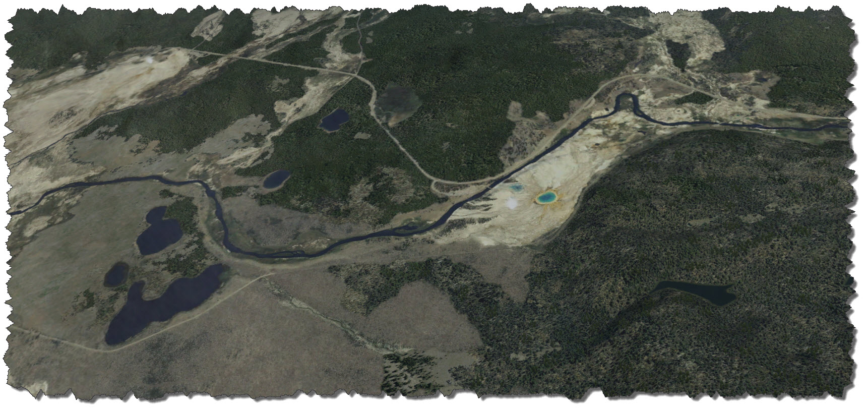
Flying south, I can see Lake Yellowstone to my left – the big lake sitting peacefully in the landscape, defying its true nature as a “super volcano” and the whole area being nothing but the caldera.

…and to Jackson Hole Airport

Meanwhile, I have contacted KJAC and have been given straigh-in landing permission on runway 19. The approach takes me right over Jenny Lake – some say one of the nicest spots in the entire National Park.
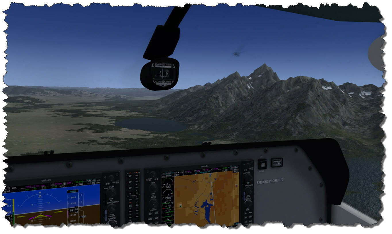
On short final, I can see a Cessna 208 taxing to the runway – luckily, the air traffic controller keeps an eye on me and that fellow pilot and asks them to hold short of the runway for incoming traffic.
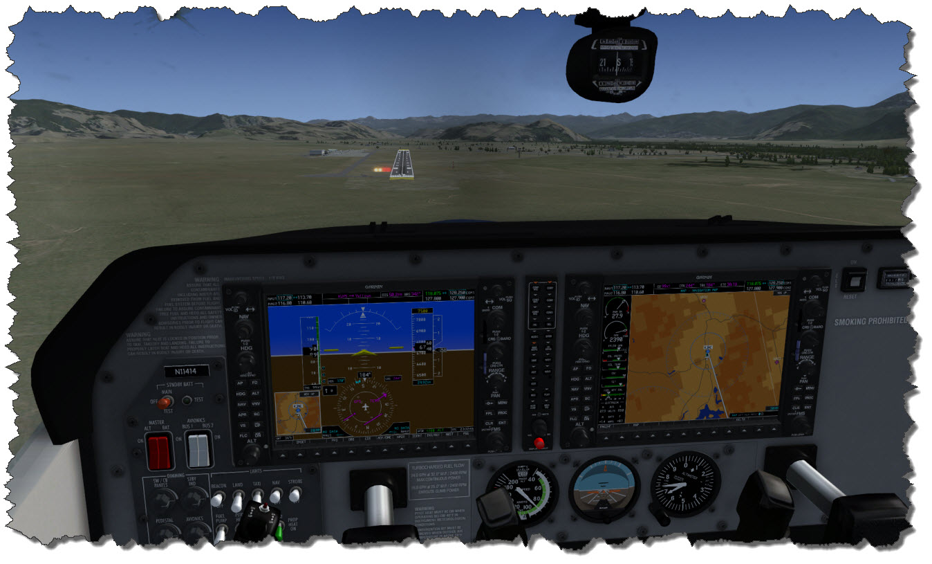
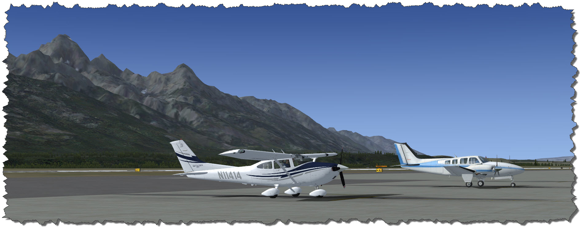
While my touchdown is almost centerline, I am slowly braking the aircraft to exit the runway at exit A2 – behind me, the 208 is already lining up.

Tired but happy I am taking the aircraft to the parking area and shut down the engine – a four hour flight is over, I am honestly tired but full of curiosity what my hotel (pre-booked!) will be like… and also what tomorrow brings (when I place ORBX’s KJAC on the PC).

I do hope you have enjoyed the short trip with me – just a chance to see a bit more of the ORBX Central Rocky Mountains Scenery – and a worthy entrance to a review of KJAC later…

Posted in FSX | Tagged , | Leave a comment

A Tribute to Mallorca – an FSX Scenic Trip

I must admit: I would have never thought I’d do a tribute to Mallorca – for many years, when the name came up, my first thoughts were those of tourists – two thirds drunk, the other two thirds sunbathing on a beach like canned sardines. And yes, before you question my math: one thirds would have been sunbathing drunk…
Then, we went to Mallorca twice and I decided that I like the island – despite the touristy patches. But mostly for the general setting. Today, I have combined that affection with one of my hobbies, flight simulation.

Flight Simulator X Add-Ons & Flight Plan

The flight is taken with a couple of add-ons running: Flight1’s Cessna 182 and Aerosoft’s Mallorca X Scenery namely.

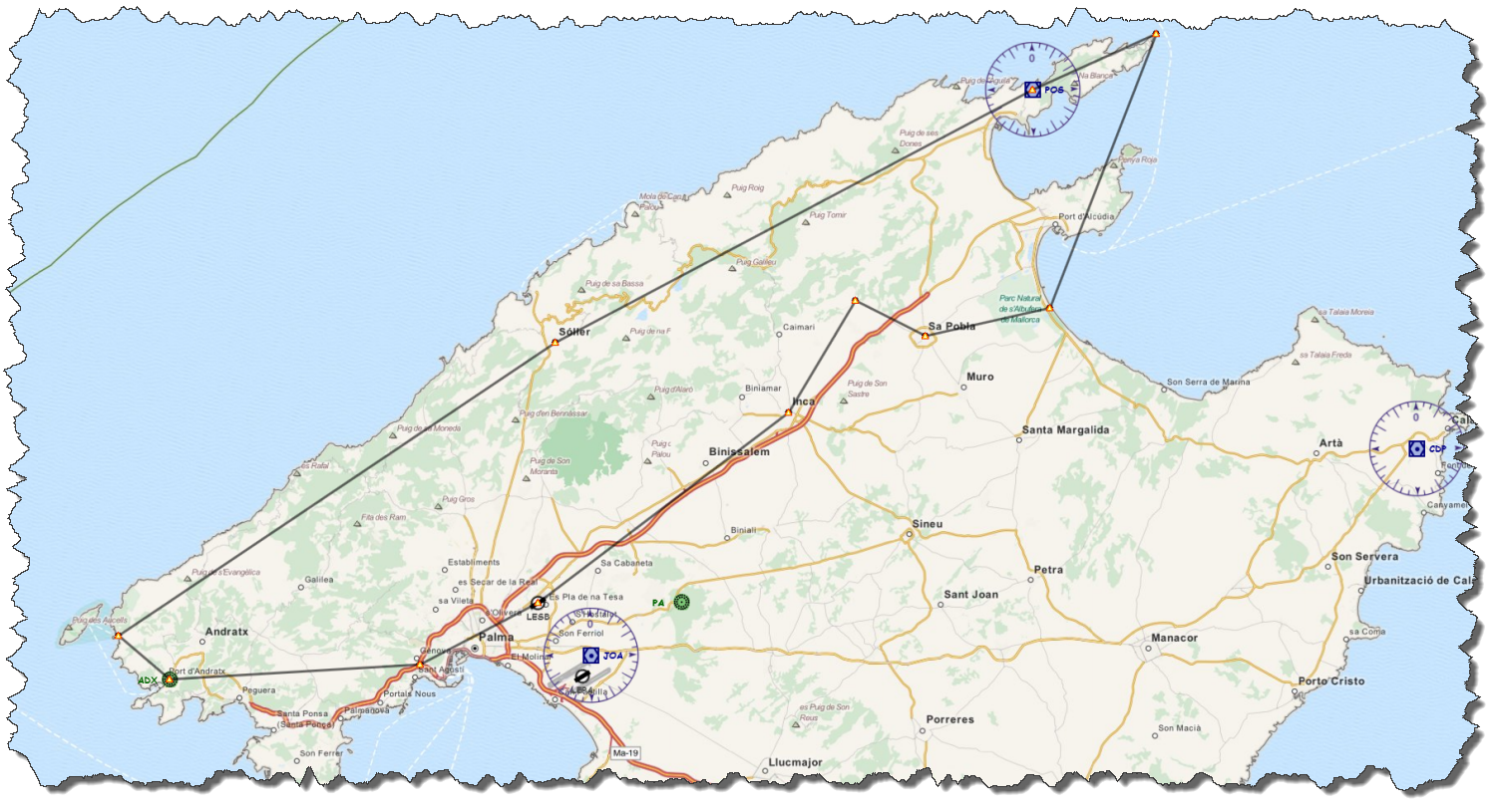
The planned flight is starting and ending on the airport of Son Bonet. Flying clockwise, I will depart to the south, pass Palma, visit Port d’Andratx and St. Elm and then head up the mountains all the way to the northern Cap Formentor. From there , it is back via Alcudia and Playa de Muro to the airport, with a short detour to some touristy spot and Inca.

Take her to the Skies

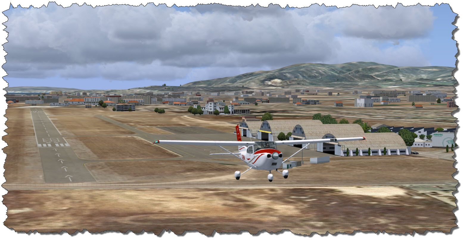
As LEPA – the ICAO Code for the Palma de Mallorca Airport – is too busy to worry about my small Cessna (and I am too relaxed to deal with handling the controllers at a large airport), my destination point is the smaller airport of Son Bonet, LESB.

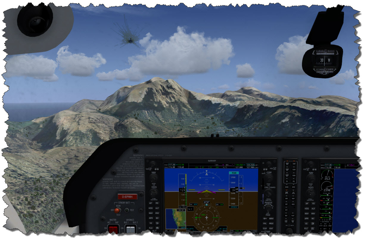
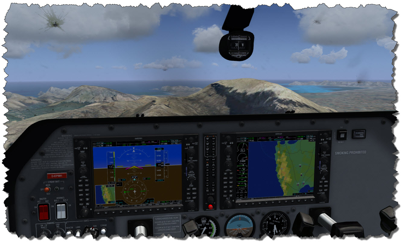
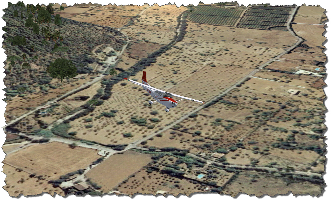
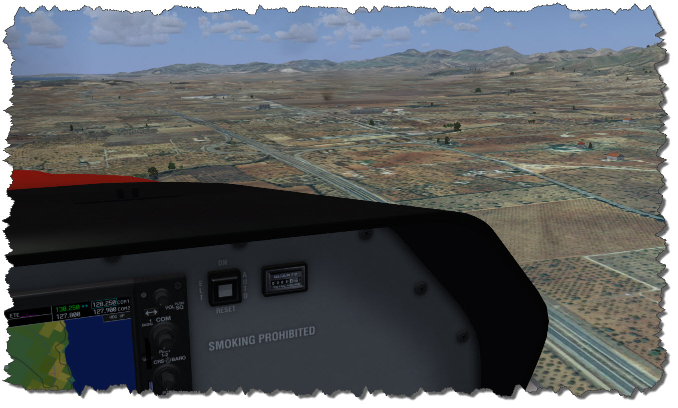
My Cessna – showing the German registration D-EPWH – is still parked on the apron, cold & dark. The Fligh1 Cessna is equipped with a Garmin 1000 Glass Cockpit – which makes her look & feel modern, yet she is easy to control and command.

Son Bonet has a single runway – direction 05/23 – where I am taking the northbound departure, heading 053°.

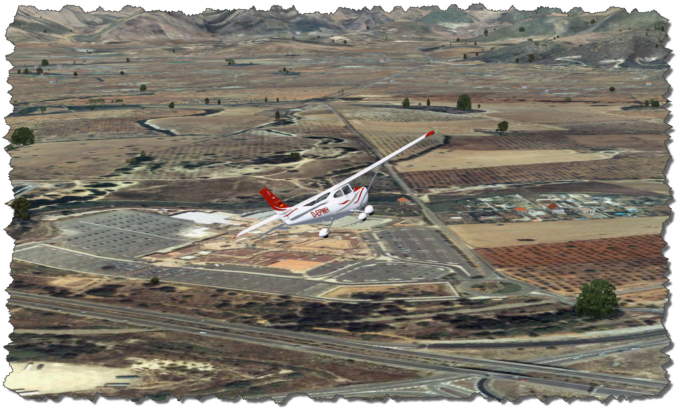
Climbing easily into the morning sun, the little Cessna is quickly gaining altitude. Crossing the MA-13 highway, I am starting my 180° turn to head back towards the general direction of Palma de Mallorca – a turn which brings me almost over one of the big outlet centers, Festival Park.

While outlet shopping is not an option today, if you come to Mallorca and your family has the need to spend some money – here is a potential crime scene 😉

On my way towards Palma, I am following the Ma-13, then the Ma-11 (which is the ring around Palma) to the west to finally meet Ma-1 which will lead me to Port d’Andratx.

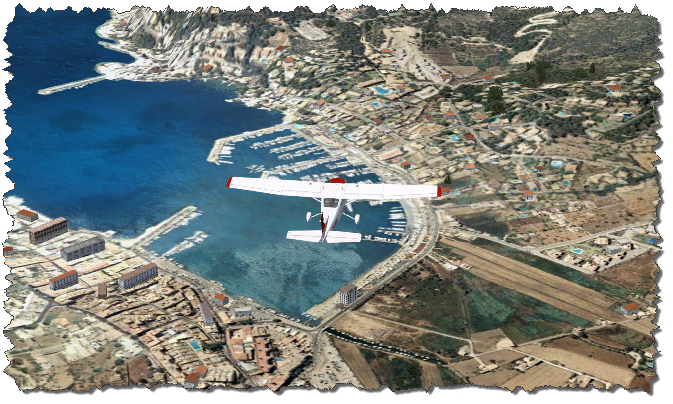
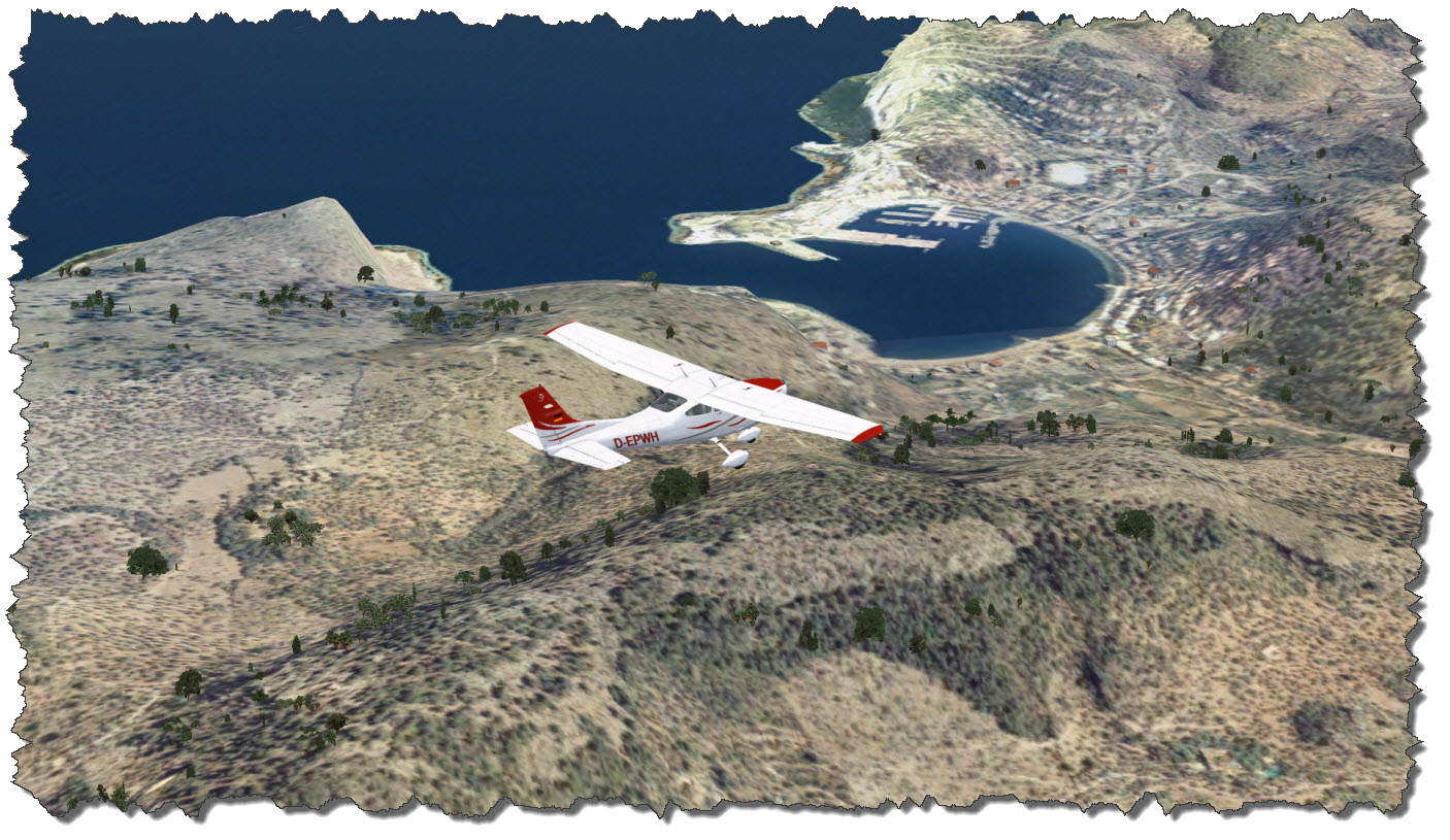
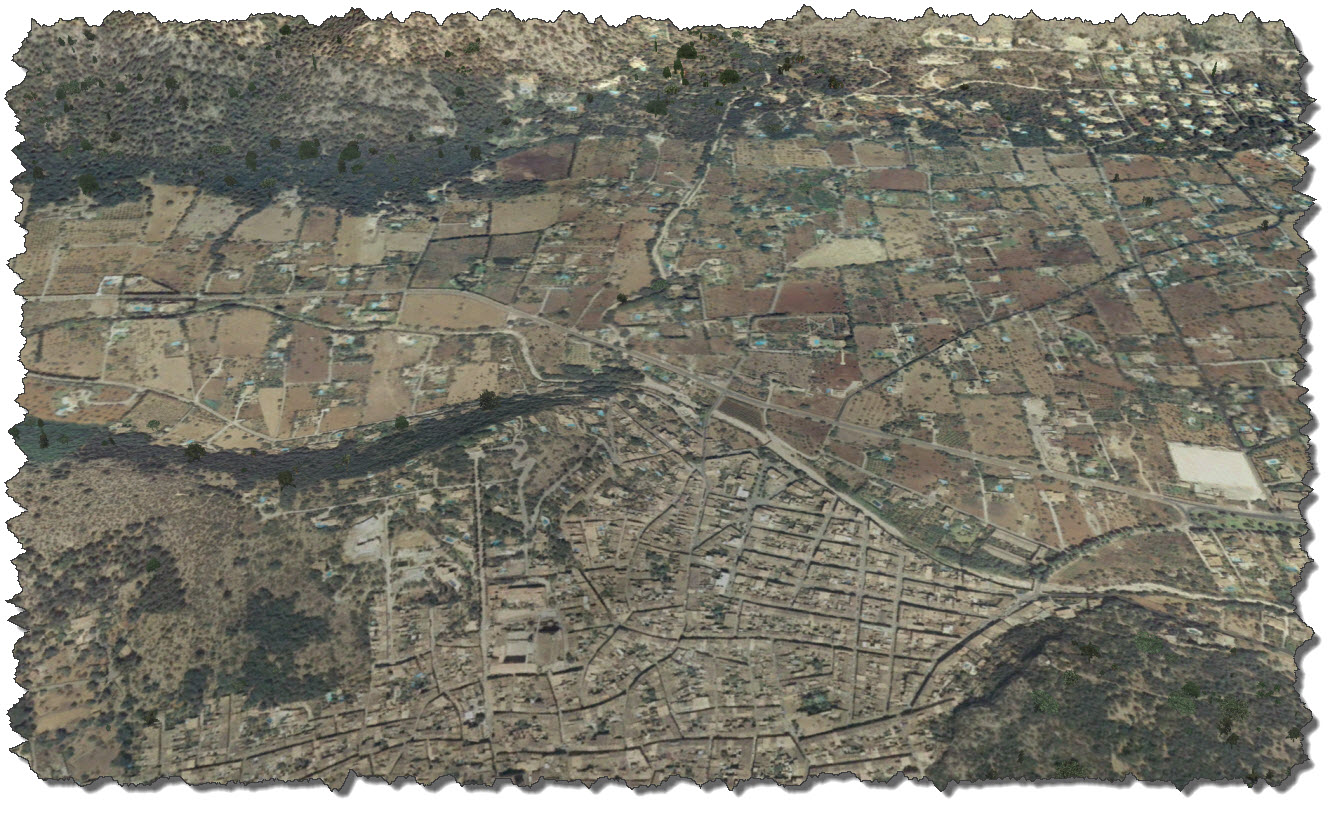
Aerosoft’s Mallorca X Scenery is really adding to the sights – if you like photo-real textures. By car, the trip from Palma to Port d’Andratx takes about 30 minutes – give or take a bit. The Cessna is making it in just about 8 minutes.

Looking down at where I had been just three weeks ago, all the strengths and weaknesses of flight simulation become obvious: you can navigate, even VFR. You can recognize, even small details – but you cannot compare it to a real flight – and although you should never say never, it is still a long way… but hey, I once wrote an article about the long way of flight simulation… so maybe in another 20 years?!

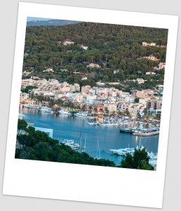
The picture to the left shows the real Port d’Andratx – the two piers in the right of the image are the two piers in the image above, stretching under my left wing…

So what is wrong with Port d’Andratx? Well – nothing really:

  • the small parking lot in the corner of the harbor: it is there (exactly in the middle, at the lower edge of the image).
  • the local supermarket – it can be seen (if you know where it is).
  • the Port Building with the fish market – can be seen, although some dynamic scenery building is partially covering it.
  • the hills with the Fincas on the far end of the bay – can be seen but the LOD for the mesh becomes obvious
  • the dynamic scenery building – they are too large for the scenery – way too large if you compare them to the aerial image.

So if dynamic scenery is an issue – switch it off?! Yes, that might be an option – but then the landscape is too flat – it also eliminates trees and such. So could this be enhanced? Maybe – but it would require much more processor and graphics power than we may have today – and much more data to be gathered or artificially generated…

  • the mesh would have to be enhanced – Port d’Andratx is a place where this becomes quite obvious, with all terraces and steep cliffs along.
  • the clarity of the ground image would require an improvement and one would have to find a solution of the perspective errors when mapping a top-down image over a mesh (parts of the image cover the invisible vertical areas of the mesh).
  • finally, houses and other buildings would require a much more sophisticated “artificial intelligence”: as it is impossible to reconstruct just every house within the scenery, we would need algorithms to create objects that match in shape, dimension and outer appearance – not 100% but enough to provide the vision from lets say 500m away…

Nonetheless: this is still far better than the out-of-the box landscape of the default FSX…

Leaving Port d’Andratx on a course west-northwest, I am crossing the hills and head for the small town of St. Elm.

St. Elm is a lovely little place – touristy as hell and if it would not be for the tourists, the place might not even be noticed…except for its beautiful bay and the views of the opposing island, Sa Dragonera.

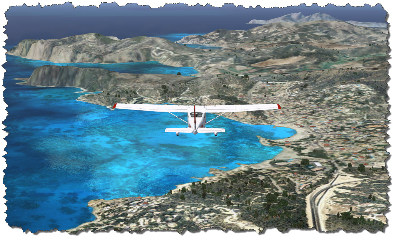
From St. Elm, it is up the coast east-northeast. Along the coast, small villages and touristy spots are placed – some of them recognizable from the scenery which is developing around me: Estellencs, Banyalbufar, Valldemossa and Deià, to name a few.

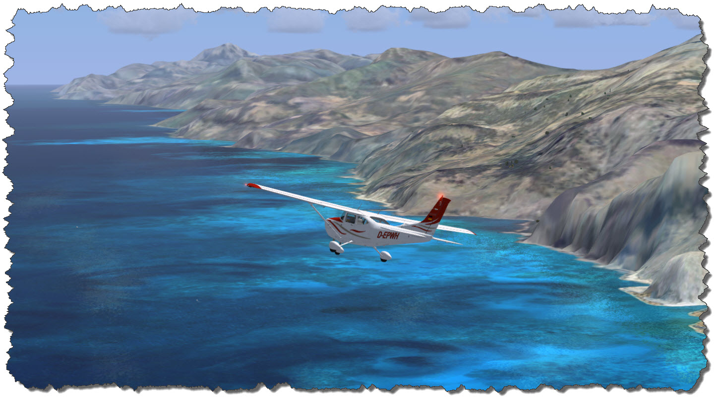
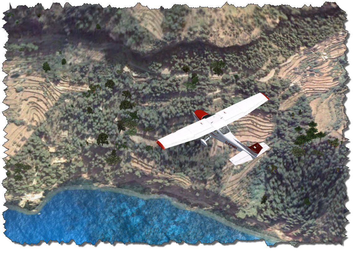
Flying up the coast, the same feeling of “how magnificent would a more detailed mesh be” comes up – the true nature of the beautiful coastline can at best be imagined – here, the lack of detail becomes the most obvious.

This is – by no means – any criticism on the scenery developers – they have done a wonderful job with what FSX allows them to do! It merely shows that no matter how far we have come in the past 20 years, there still is major room for improvement! But one thing needs to be mentioned: the more direct the view is “down to earth”, the better the results are.

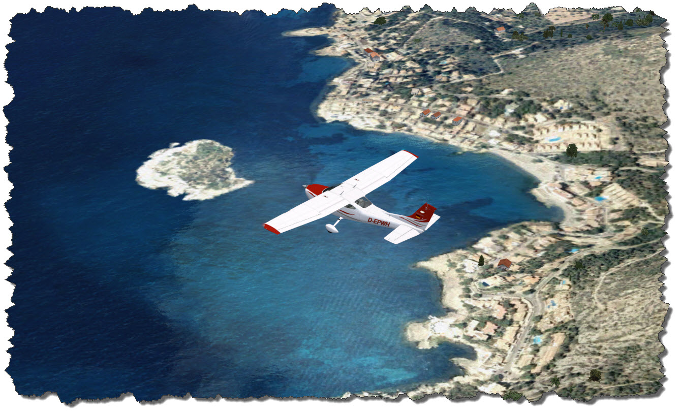
The picture above is actually pretty close – the terraces that allow the people in the area to grow tomatoes, fruit and wine clearly stand out – unfortunately, the image degenerates if looked at from a more shallow angle, as the one you would have when flying over the landscape.

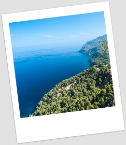
The real coastline, however, is a true eyecatcher as you can see on the photo to the right.

The blue of the ocean, the gray of the stone and the green of the trees just blend in so perfectly on a sunny day, you can stand there for ages and just enjoy the landscape.

You can also see how rugged the coastline really is – no chance to cover this in detail with a mesh our computers are currently able to handle.

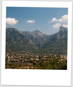
Situated between some of the larges peaks on the island, the town of Sóller comes up on the horizon – as many of the old towns, it is situated inland with a smaller part forming the original harbor – Port de Sóller.

Flying over the town, it is time to climb to a higher flight level – so far, I have been leisurely cruising at about 2500ft, not high enough to clear the mountains ahead of me – including the highest one on the island, Puig Major – 4741ft (or 1445m) above sea level is just the perfect place for a radar station – thus, the mountain is a military zone, off limits.

These peaks are the highest region of the Serra de Tramuntana, the mountain range covering the north-eastern coast of the island.

Sóller is one of the larger towns on Mallorca – about 7000 people living here, mostly on tourism and agriculture.

The valley has long been a spot to grow fruit well and the climate makes for good harvests: oranges, citrons and olives have been among the main trading good for Sóller from the days of the Roman Empire and until today.

Up here, reservoirs have been created to help with the freshwater supply of the island – two of which I am now flying over.

From here, it is all downhill, so to speak. In the north, the view opens and I can start seeing Cap de Formentor and the Badia d’Alcudia – the northern coast of Mallorca, stretching from Port de Pollenca to Ca’n Picafort with the city of Alcudia being the center of the region.

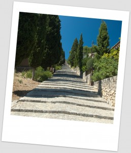
Following the Ma-10 through the mountains, I am finally reaching Pollença with its narrow and compact old town and the famous 365 step stairway to Calvary hill.

When I was there, it was a hot August day, around noon and my wife and me walked the stairs up all the way to the top – but we took our time and we had been rewarded with some great views along the street.

One advice: there is nothing along the street but private homes so you need to bring your own water and refreshments – there is nothing to buy up there! And take your time – uphill all the way in the sun takes its toll so be careful, take your time and plan for some stops in the shade of a tree – you will need them!

Seen from above, it does not seem to be as bad as when you have to walk it in the scorching sun.

I am following my route north-east, rounding the Formentor peninsula, another of the scenic highlights of northern Mallorca.

Once more the complexity of the landscape is defied by the limitations of the mesh – seeing it in Flight Simulator is nowhere close to seeing the real thing. If you get a chance – take it!

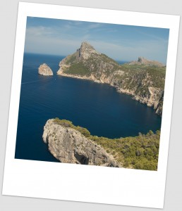
This is what Cap Formentor looks like in reality – or at least the peninsula leading up to it.

If you go, you go by car. And if you go by car, you need someone in the passenger seat who is able to stand some real tight turns and narrow roads, all the way along the edge of the cliff, falling into the sea.

The drive out there is nice and as the driver you can concentrate on the road – but everyone else in the car will have sufficient time to consider the “What if..?” question…

From here, it is straight across the Alcudia Bay towards Playa de Muro – a part of the beaches stretching from Alcudia all the way to Ca’n Picafort.

While the touristy places govern the coast, the Hinterland is reserved for the birds: the natural park S’Albufera is a safe heaven for birds on their journey to and from the south, very popular with bird watchers.

From here, it is inland – turning west, back towards the mountains for one last spot to visit on this trip.

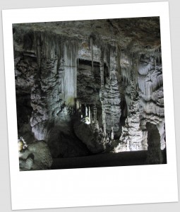
The last sight seeing item on the trip is one you cannot actually see from the air – or from above earth, for all it matters: the Coves de Campanet.

The cave can be walked in a guided tour of about 40 minutes in length – and it is well worth it. You might want to time your visit to fall into the hottest part of the day – the cave is cool, chilly even so you might also wanna bring some warmer cloth, even if you will not need outside 🙂

By car, getting there is merely a matter of navigation – the entrance to the caves is a bit hidden but I did not have an issue finding them by map and signs (and I had a navigation system, I have to admit).

In my Cessna, the approach is a bit tricky, me flying along at about 100ft and straight towards the mountains – it requires a sharp left-turn to avoid hitting those hills!

Leaving the area and turning south, I am heading for the town of Inca. The town is known for wine and leather – the latter you can buy in a couple of outlet stores but be aware: the prices are not necessarily cheap, they are just good…

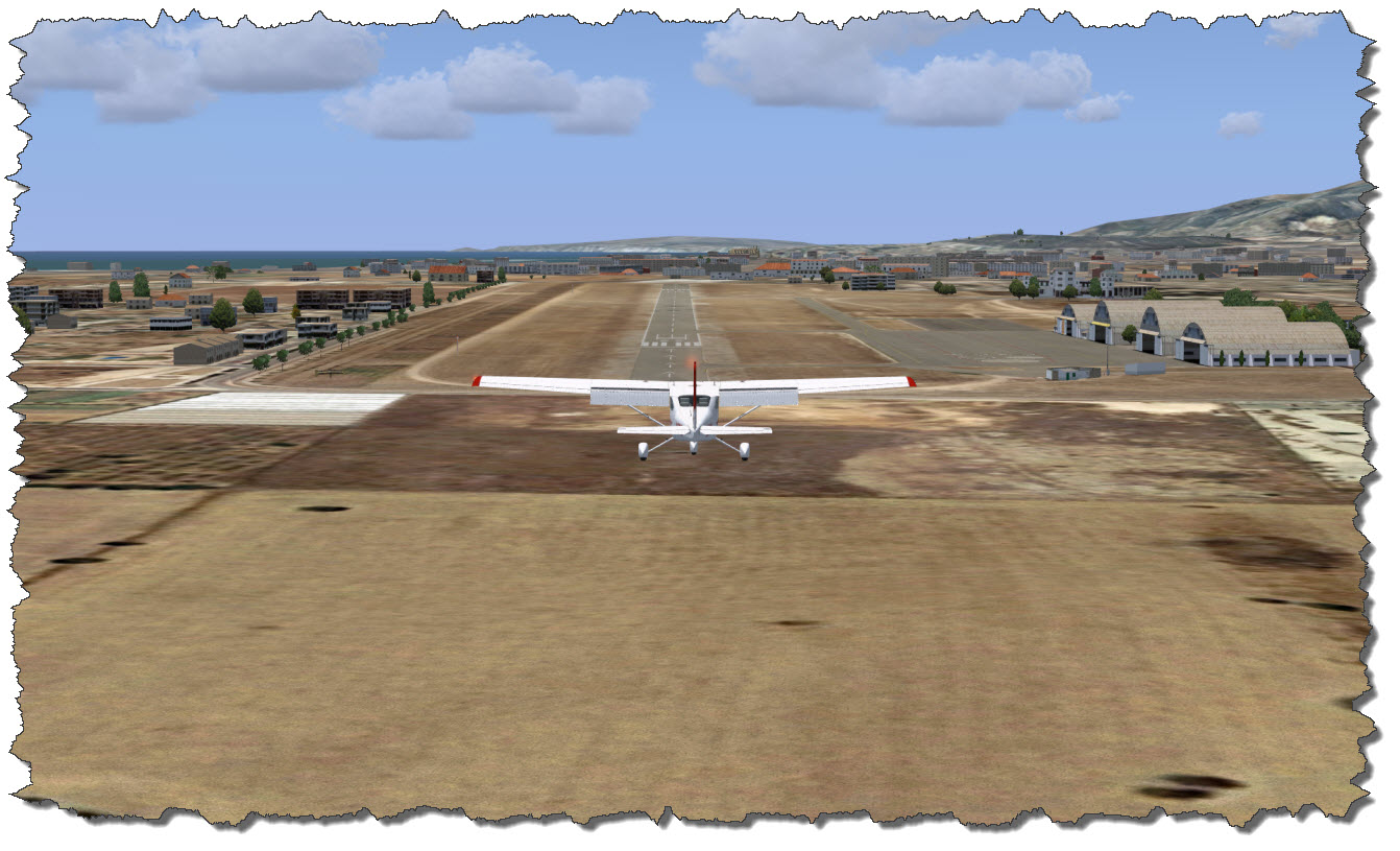
From Inca, it is all the way down Ma-13 back to where my trip began, back to Son Bonet. About 70 minutes after I started up the engines of the Cessna, I am on my final approach back to the Airport, Runway 23 it is this time.

After a safe and spot-on landing, I taxi the Cessna back to the parking area and hand over the aircraft to its owner, the leasing company. I have very much enjoyed my trip of the mountains and northern parts of Mallorca – I may just return for a second trip to cover the rest of the island…

Posted in FSX | Tagged | Leave a comment

World of Warcraft: The Western Plaguelands

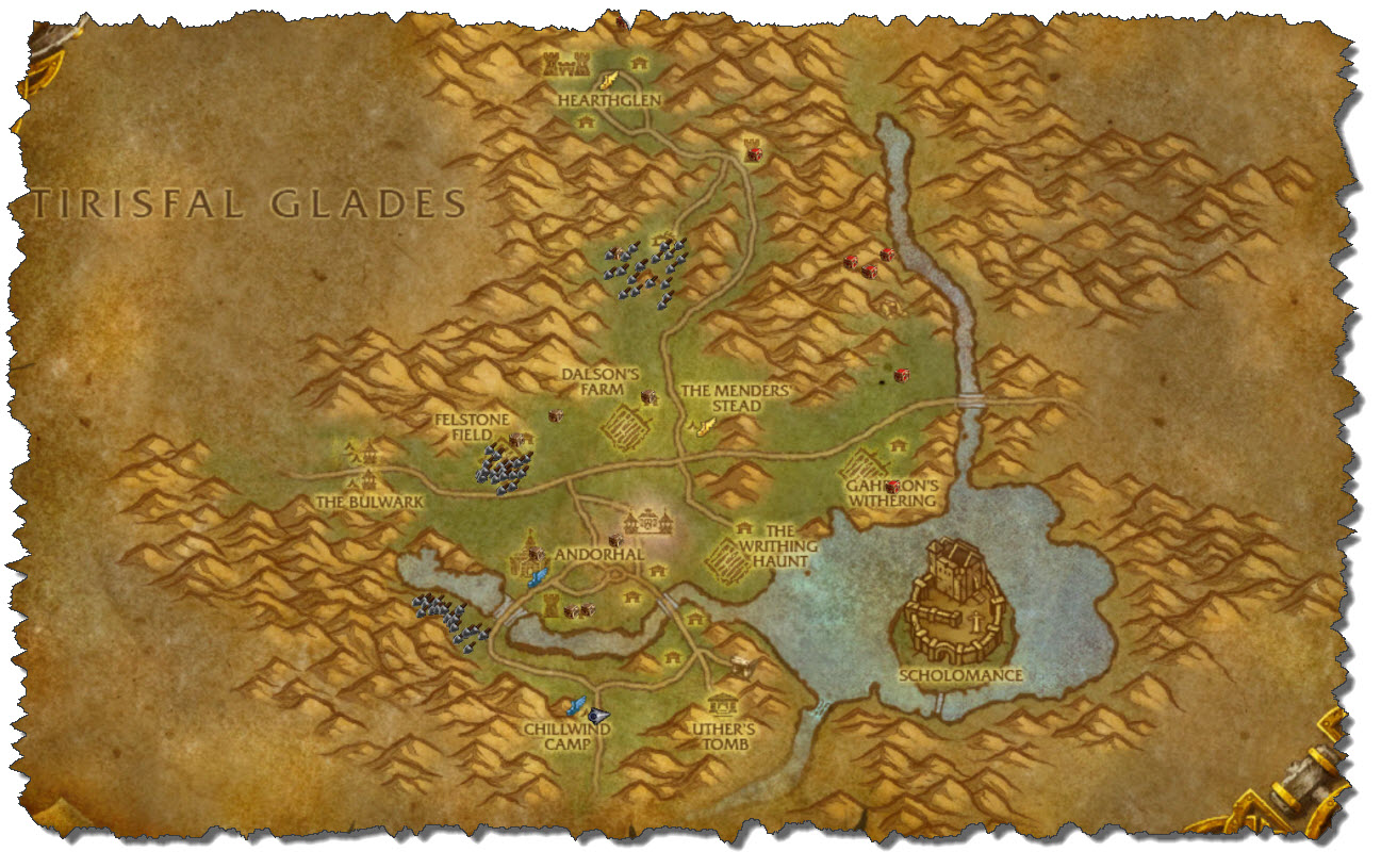
Having done all (or all necessary) the Hillsbrad Foothills zone has to offer, Dragast had now reached a level of around 40 or so. The next zone up is The Western Plaguelands in the north of Foothills.

Dragast had been coming from the south, battled his way through the Alterac region and arrived in Chillwind Camp safely (and more or less without loosing too many lifes along the way).

Like so many other areas, the Western Plaguelands did see some significant changes in teh Cataclysm Add-On.But while zones like Hillsbrad Foothills have changed to the worse, the Plaguelands actually improved: the Alliance is making progress in regaining lost territories.

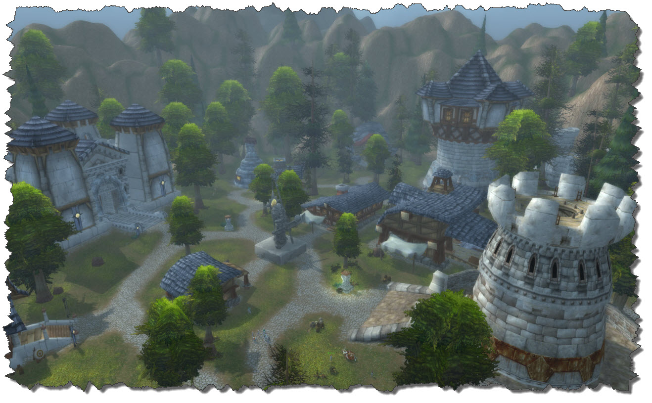
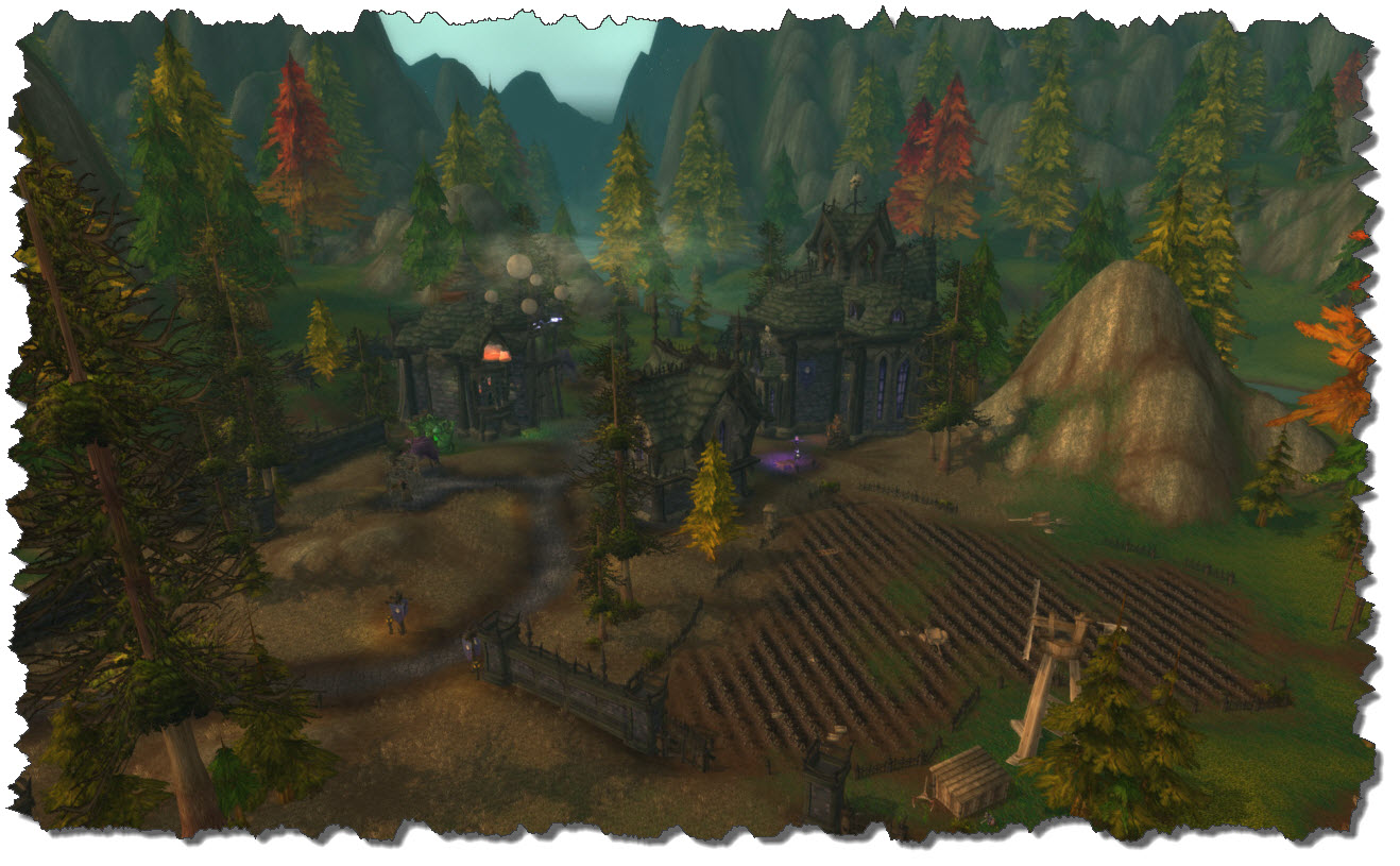
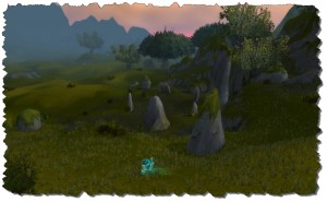
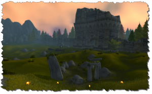
The area around Uther’s Tomb, situated just east of Chillwind Camp, gad been a dark an sinister cemetery area in the past, haunted by the lost souls of the dead. Now, restauration is in effect and even those souls that remain have turned a friendly eye on the passing traveler.

I very well remember the endless fights with the souls of the dead in the old days – Dragast had to make for quite a few escape runs here.

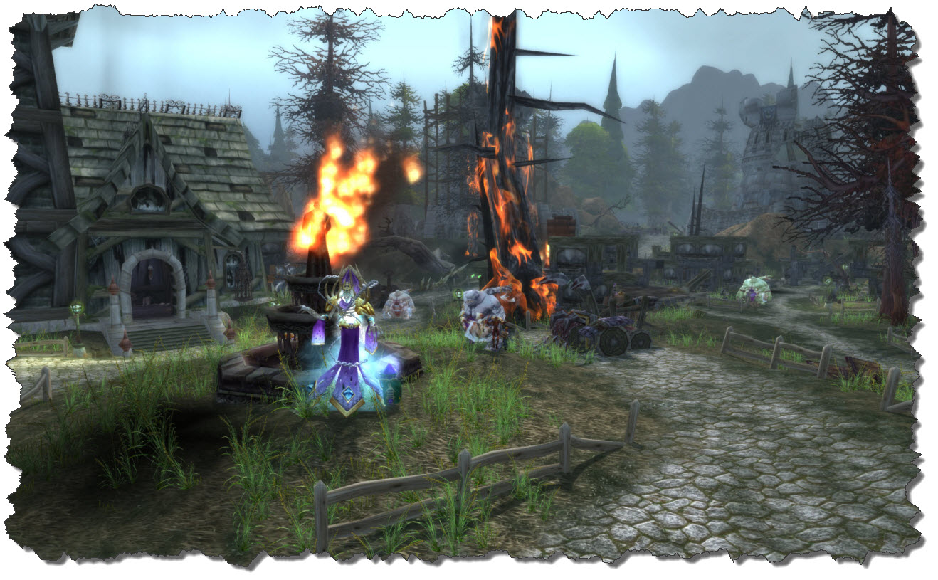
The ruined city of Andorhal is still a battleground, but even here the advance of the Alliance troops is visible – things are improving. Fighting is still going on, the Undead are holding their grounds and the brave defenders of Andorhal as still taking massive losses. But soon, the battle will be over here as well. For the time being, the fighting character just needs to be careful to not attract too many opponents at the same time – with caution, experience and quest rewards can be farmed pretty easily within the city.

Having cleared the smoke and fires of Andorhal, the newly returned life shows all around.

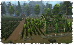
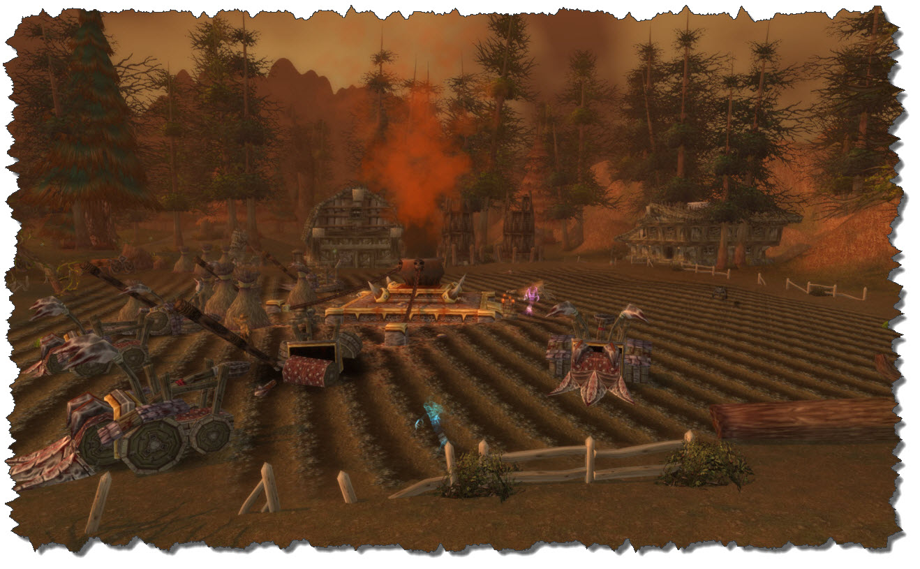
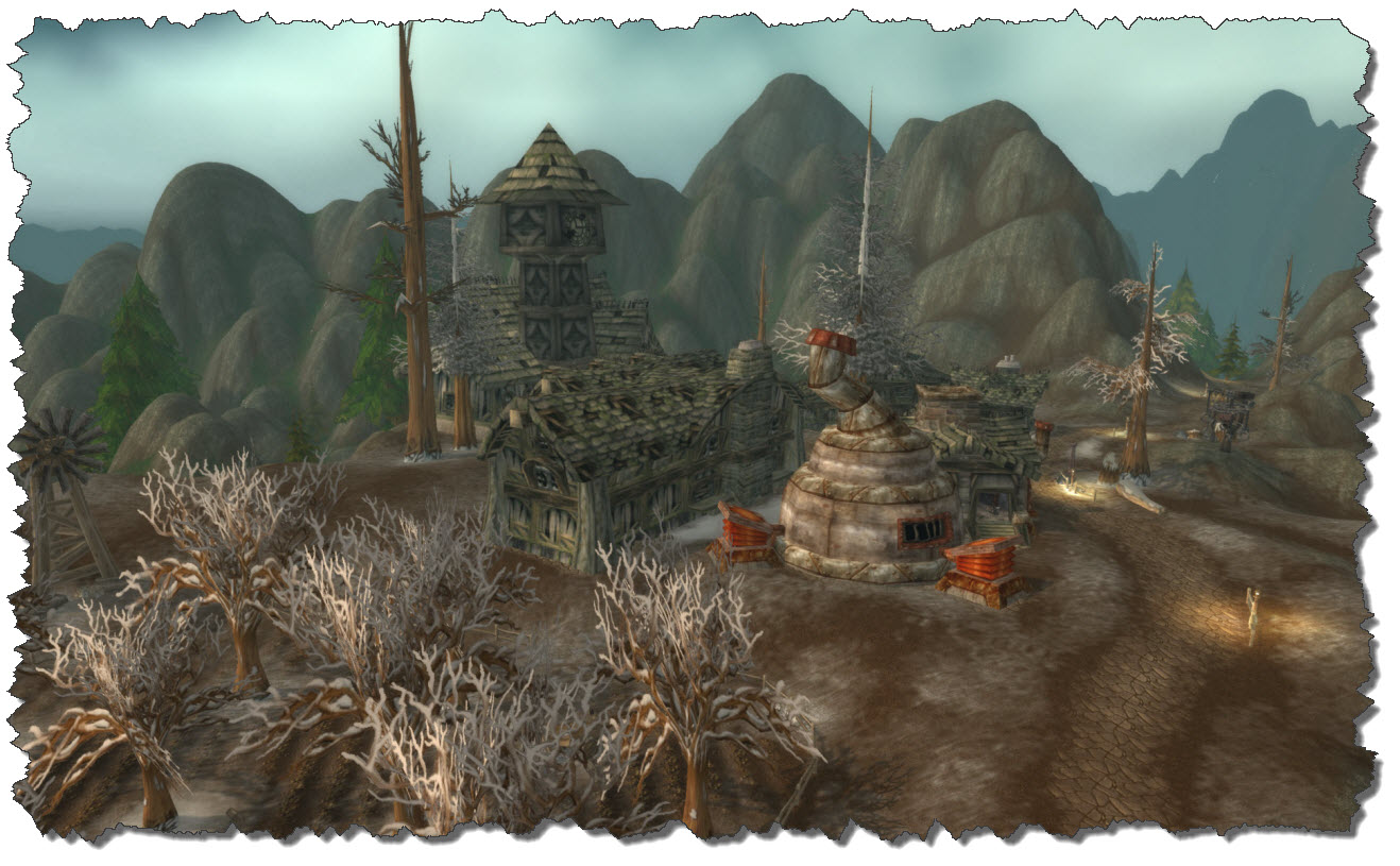
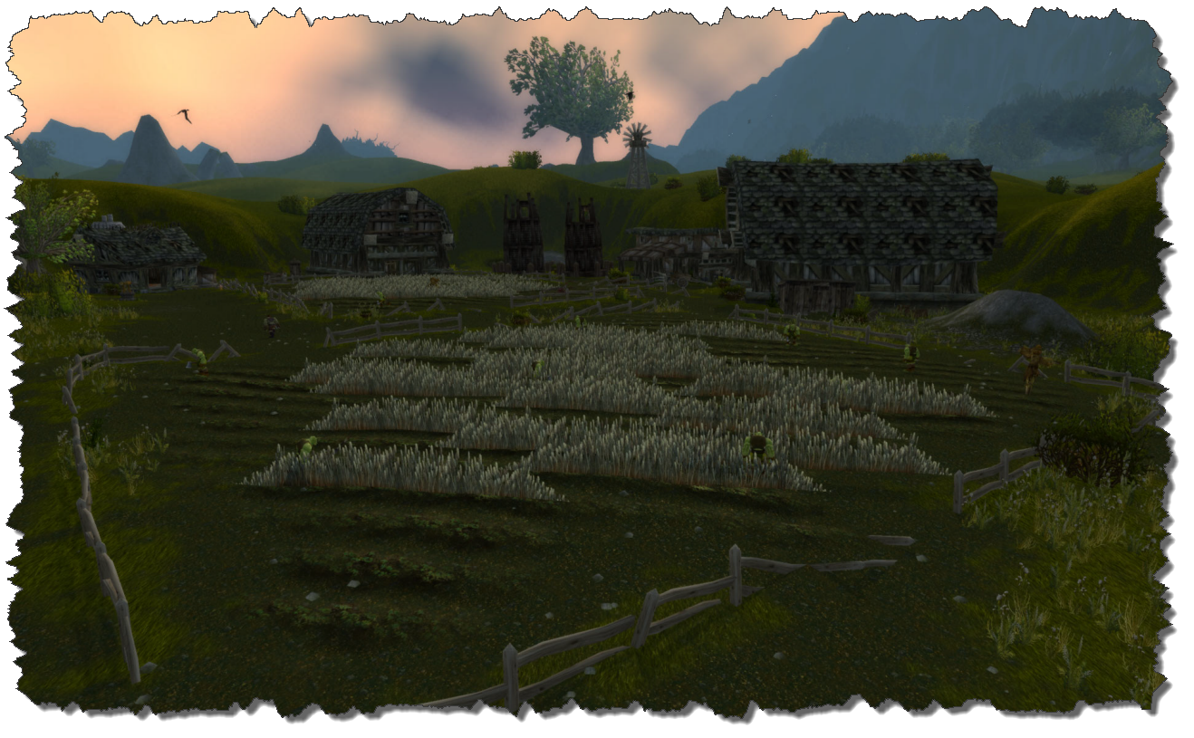
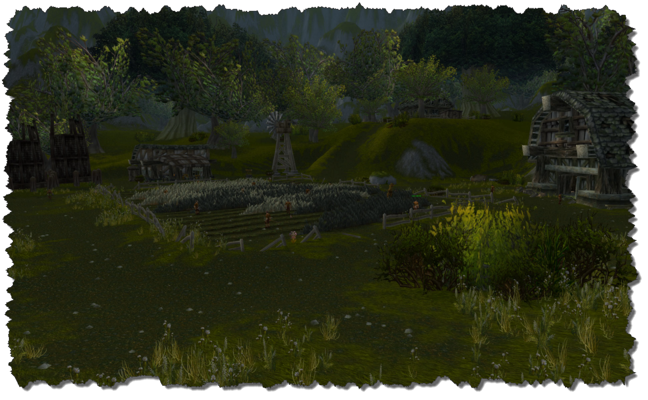
The Felstone Field farmstead is in full blossom again, workers on teh fields and the windmill operating. This had been different in the past when the field was taken by the Scourge ad a large cauldron placed in its mid was spraying dead and decay.

But the Scourge is gone – defeated and thrown back and it is time for humanity to reclaim what once was lost.

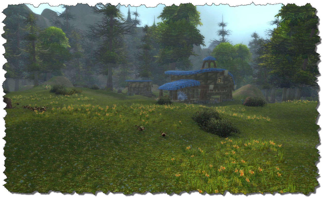
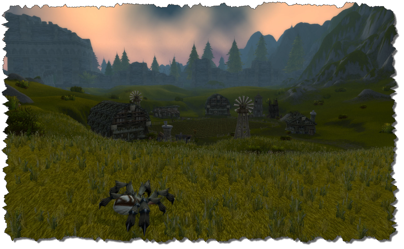
A bit further to the east, the same change can be seen on the Dalson’s Farm: although currently deserted, plants are freshly growing on the fields and the houses have been restored to their old beauty.

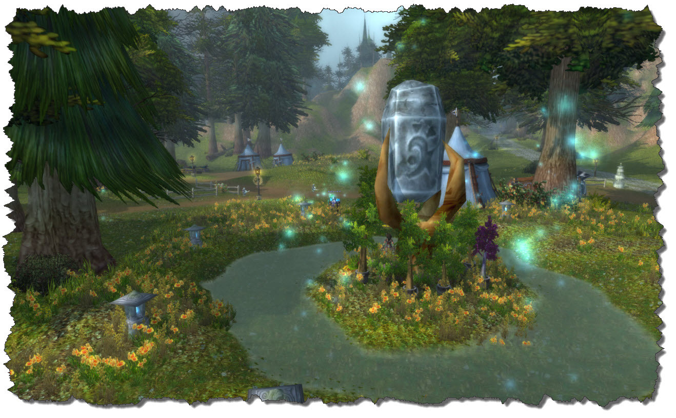
Just on the edge of the farm sits a neutral questing place, The Menders’ Stead. It is these days offering a Flight Master and a variety of quests linked to the Cenarion Circle.

The two other farmsteads, The Writhing Haunt and Garron’s Withering, have not yet been liberated – one is deserted (or almost), the other one is still under control of the Scourge.

Leaving the Menders’ Stead towards the north, trying to approach Hearthglen will take you into Gnoll country these days – and the bastards are even sitting on the roads… so you need to watch out a bit. The lads a all around level 36 upwards…

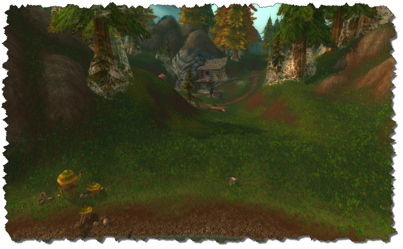
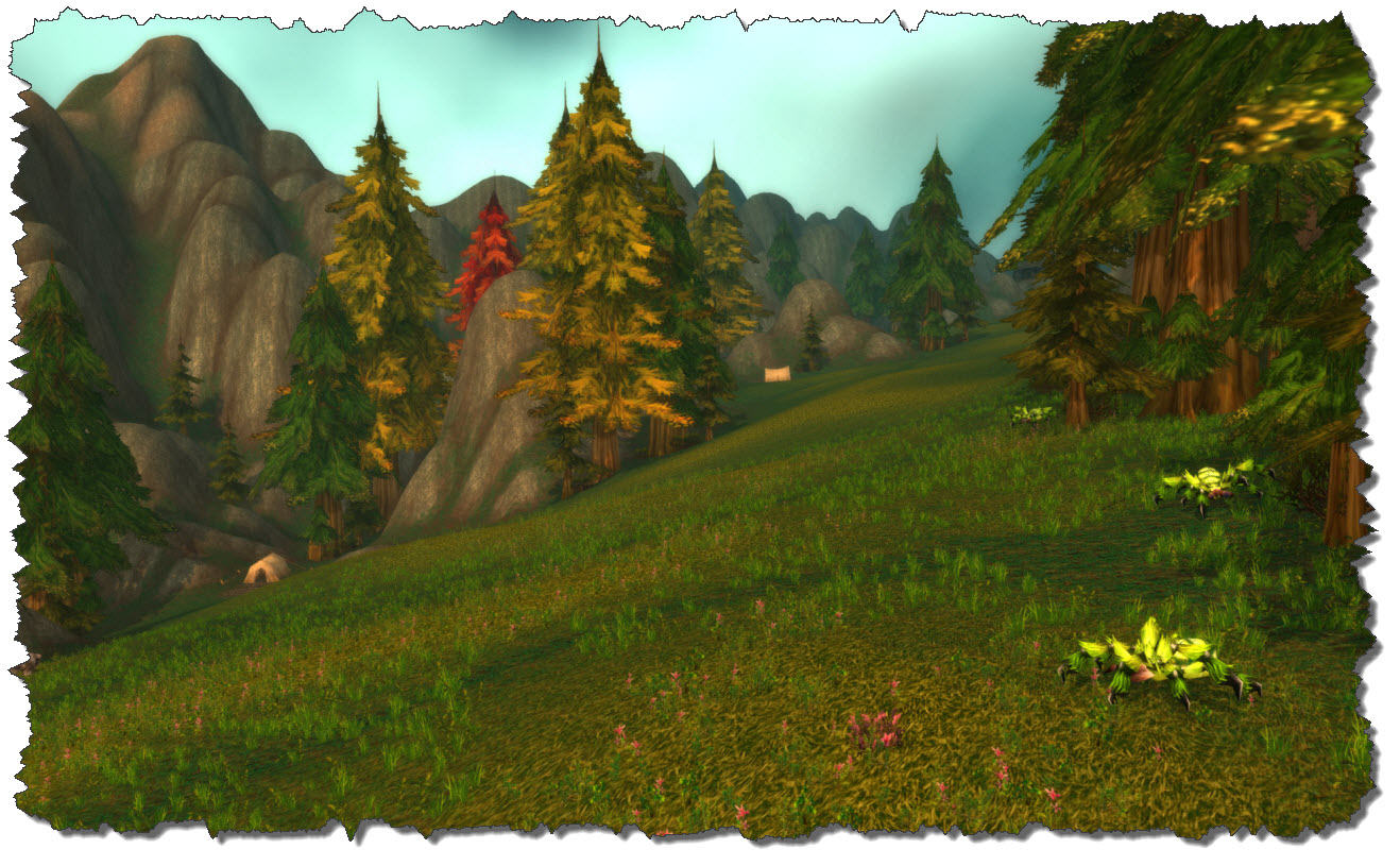
The other possibility is to keep west of the road and walk up the meadows to the Northridge Lumber Camp. There are still some Gnolls roaming the valley but it will also bring you to a set of quests around the lumber camp. And don’t fear the spiders – they are neutral…

Finally, in the northern section of the zone you will find Hearthglen, controlled by the Argent Crusade these days. When I took Dragast there, he was way up beyond the quests levels but I had some other characters questing here and I have to admit: I did not really enjoy the quests.

Personal taste but I always tried to move on as quickly as possible.

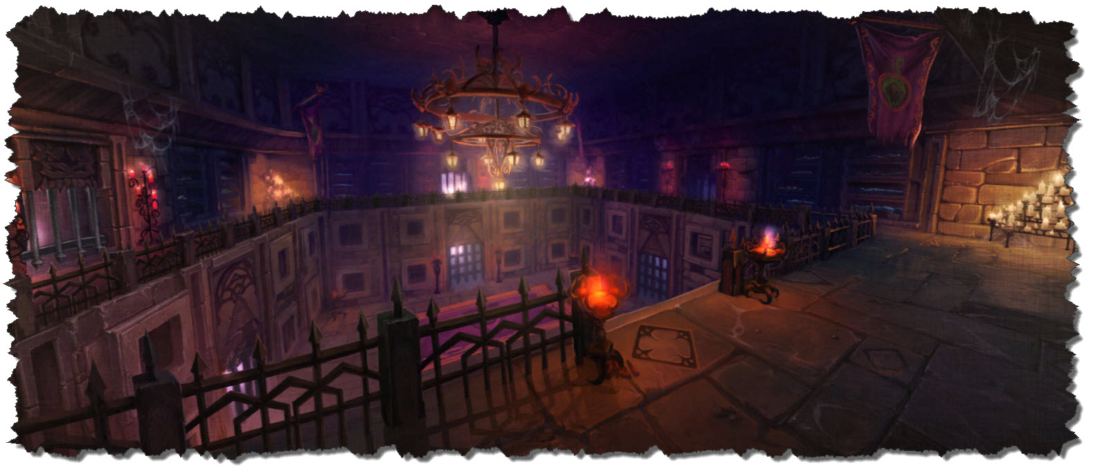
Last to be mentioned, the zone also holds the dungeon of Scholomance – one of the classic dungeons Dragast never really spent much time in because his rise was after when the Burning Crusade came to its end and the Lich King was about to appear (meaning: my guild had the grace of leveling me without me having to go through the trenches)

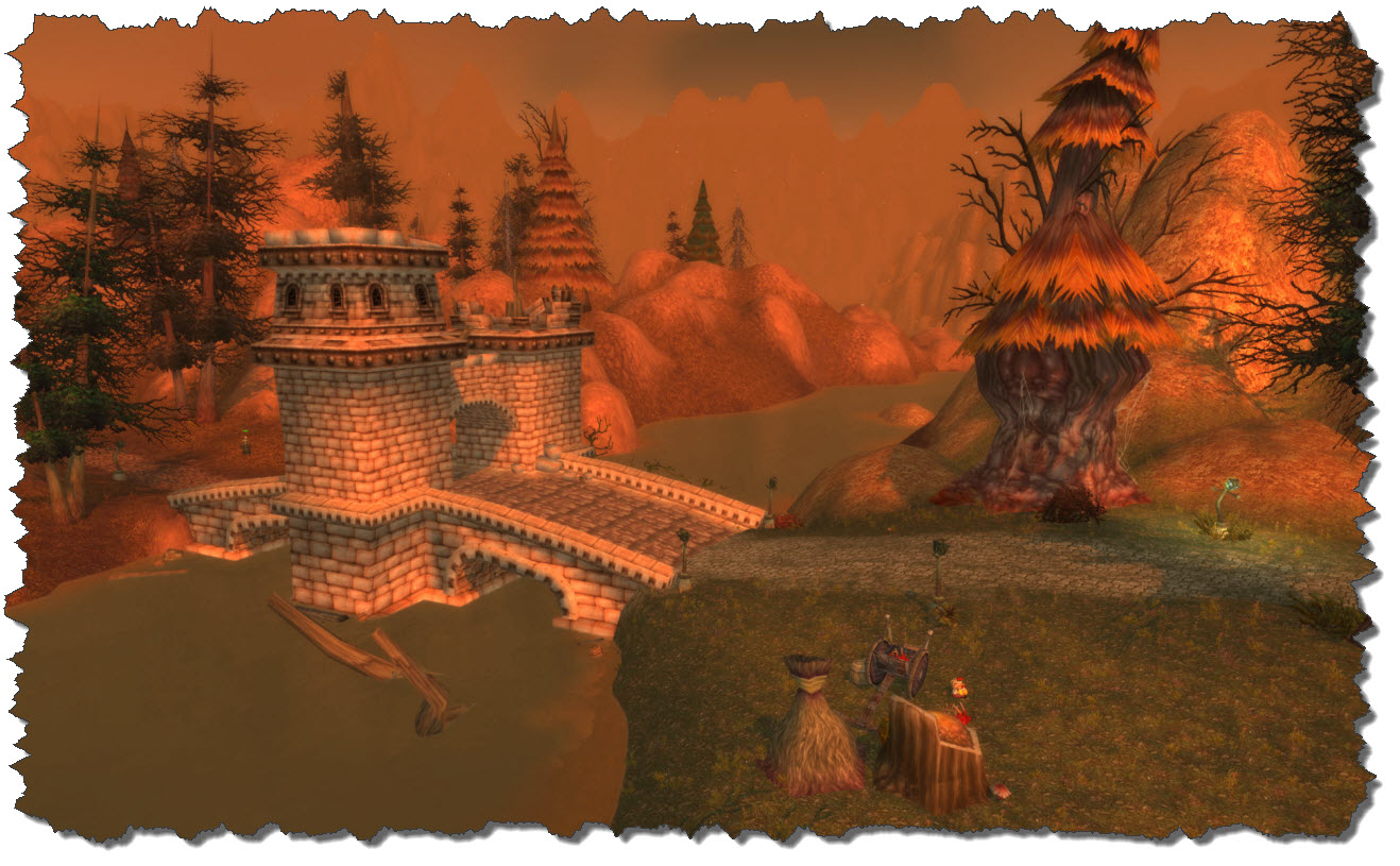
In the east, a bridge over the Thondroril River marks the exit into the next zone, the Eastern Plaguelands.

Posted in World of Warcraft | Tagged | Leave a comment

World of Warcraft: Hillsbrad Foothills

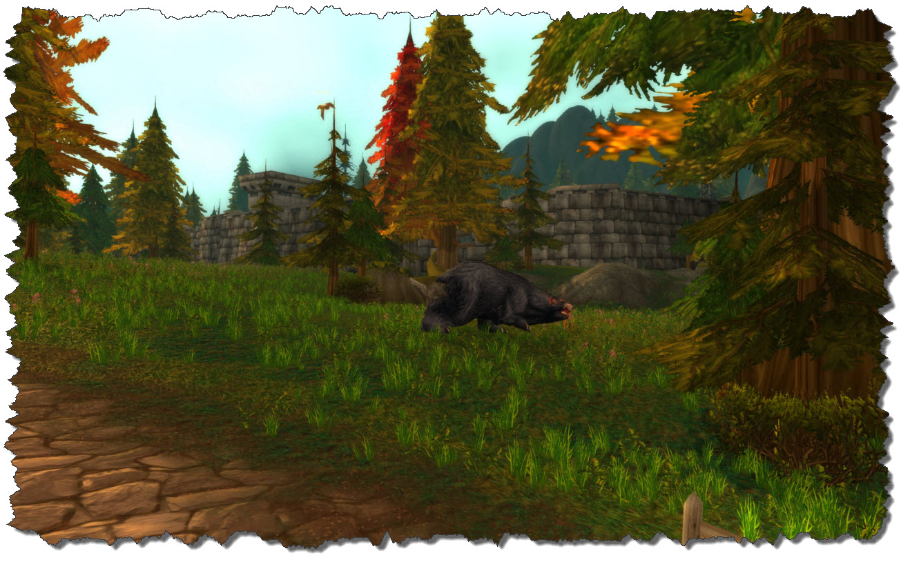
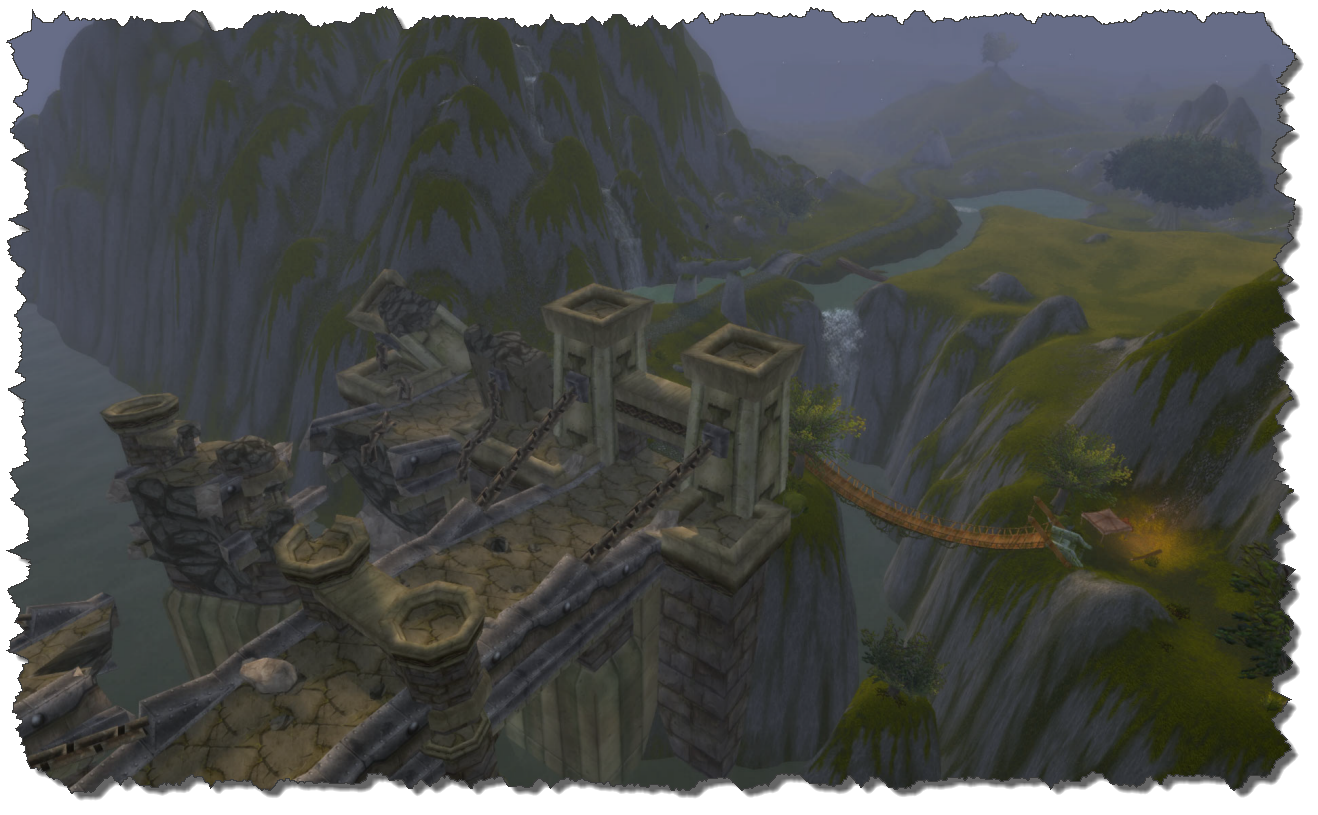
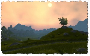
Coming from the Arathi Highlands, Dragast had battled his way through dinosaurs and giant spiders, ogres and syndicate men. Passing through the gate in Thoradin’s Wall, a scenic landscape reveals itself – high trees, rolling hills – the area used to be one of my favorite places to be in prior to the Cataclysm Add-On.

Right after entering the area, to Dragast’s right, the ruins of Durnholde appear. The old fortress is now roamed by the Forsaken and not an easy battleground if you are alone and maybe of too low level.

A dungeon dealing with Durnholde – The Caverns of Time – can be found in Tanaris.

Continuing westward, travelers these days need to watch out around Eastpoint Tower – at least of they are Alliance characters: the tower is really close to the road and it is held by Horde units – which will engage on the careless passing by.

Not only once – with other characters than Dragast – I have been paying my tribute by passing too narrowly and attracting the attention of the guards…

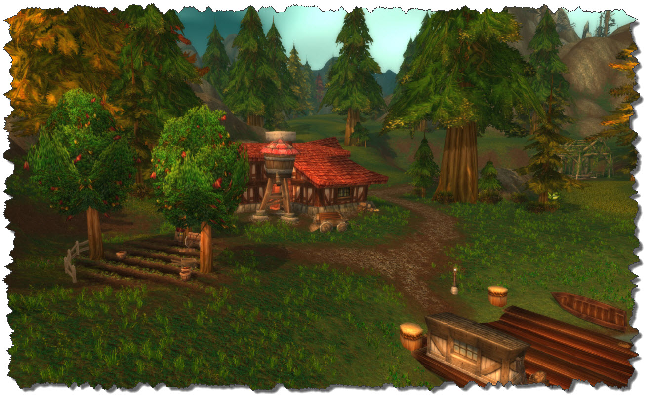
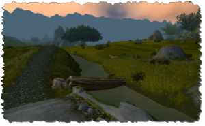
Further to the west, a small creek is flowing, crossed by a tiny bridge. The creek used to be one of Dragast favorite fishing places when picking up that skill once. Giant turtles and horses roam the banks, a truly peaceful setting.

Prior to Cataclysm, the town of Southshore was a busy Alliance place in the area. Questgivers, resting places, local shops – all the traveler needed. In the post-Cataclysm world, however, Southshore is destroyed and taken by the Forsaken. A lovely place…gone!

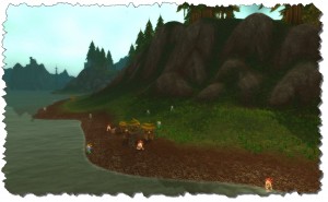
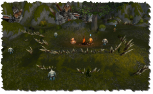
The Murlocs, however, that Dragast spent a long time hunting for quests and experience, are still there, roaming the coast in their small encampments – these days, I guess, more or less left alone for there may not be many reasons to return here.

Continuing west along the coastline will take you to Azurelode Mine, also taken over by the undead. In the Cataclysm add-on, the mine has been taken by spiders, all humans are now trapped in spider webs and  the area now is a small quest-hub for Horde characters.

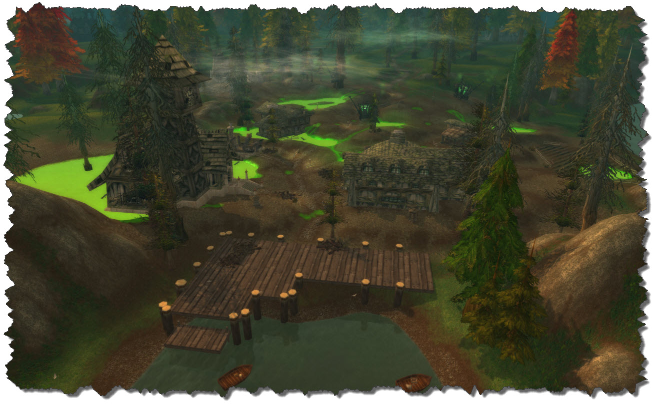
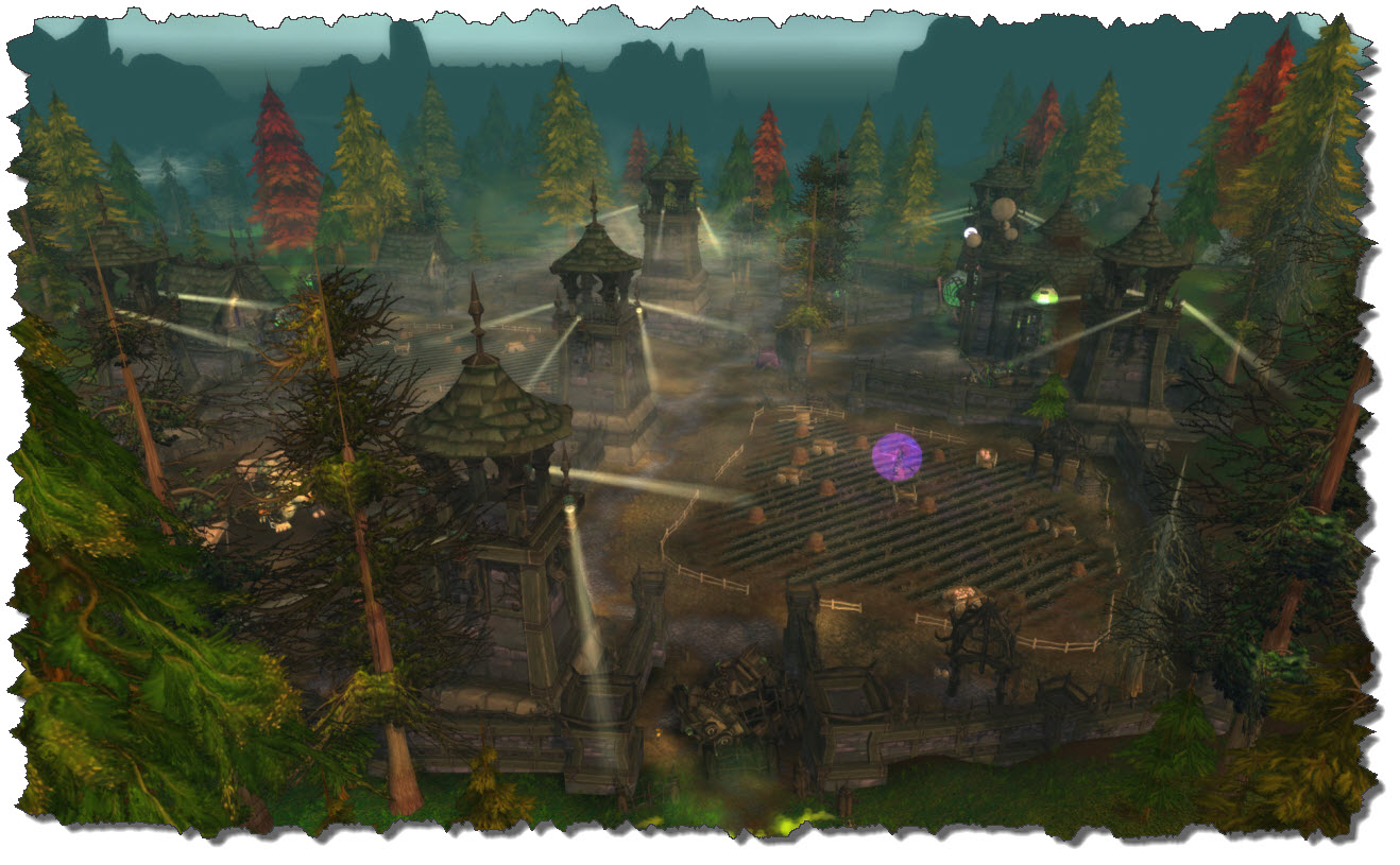
Dragast is flying north from there, approaching The Sludge Fields, formerly Hillsbrad Fields. The place has been taken over by the Forsaken in the Cataclysm Add-On – now Guard Towers with Searchlights govern the area and guards are roaming the grounds.

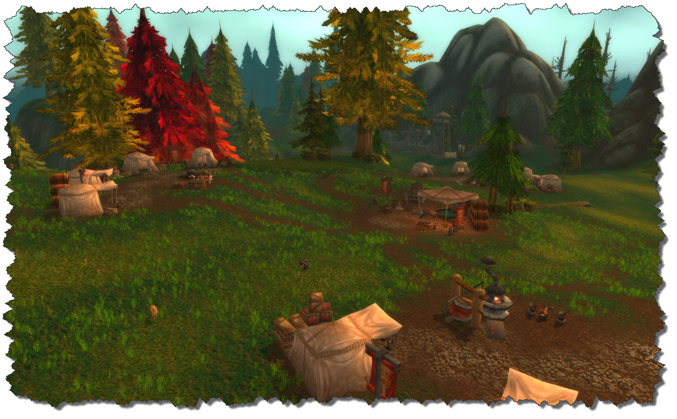
The hills east of The Sludge Fields are full of Alliance camps – the bandits and wild animals that roamed the area prior to the Cataclysm Add-On have given place to the Alliance refugees organizing their fighting.

A bit further east lies Tarren Mill – the Alliance outpost in the area and obviously off-limits to Alliance characters such as Dragast (or any of my other characters).

Prior to Cataclysm, the zone was divided into two areas – Foothills and Alterac Mountains – now joined into one zone.

Ogres roam the ruins of Alterac, situated in the snowy highlands of the mountains. The place is a Horde stronghold, nothing for Dragast to spend much time in.

One thing, however, easily done around the Alterac area is farming – Gold and Goldthorn spring to mind.

Following the road north, the village of Stahnbrad lies on the road to the Western Plaguelands. The syndicate mobs that used to roam the town in previous version of WoW seem to have gone – defeated or just tired of being in this forsaken place.

Bordering on Stahnbrad, The Uplands are a lovely mountain valley, infested with spiders and hostile encampments of the Syndicate (which possibly have com down from Stahnbrad here). They all are around the mid-20 levels to be careful to not pull too many of them if you are just about their level.

At the end of the valley, down by the shores of Lake Lordermere lies Dandred’s Fold. The place was once taken by the Syndicate but as of the Cataclysm Add-on is now deserted, fate of the original population unknown.

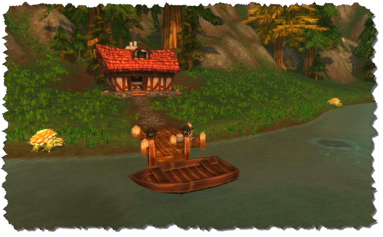
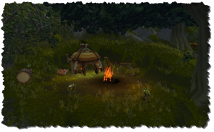
Following the coastline of Lake Lordermere towards the south-west, a small but deserted house with a boat landing comes into view – no trace of any inhabitant though, although the fire in the fireplace is on an burning brightly.

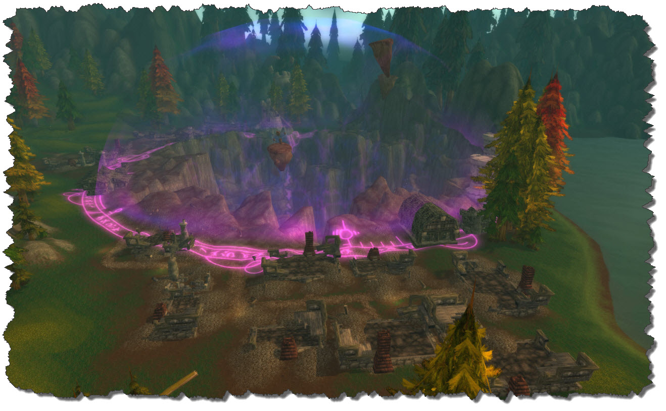
Last place to see in Hillsbrad Foothills is the Crater of Dalaran, the gaping hole left as the City of Dalaran was ported to its current location in Northend.

Oh, one more thing: down in the very south-eastern corner sits the ruined farmstead of Nethander, the place being run over by the Mudsnout Gnolls.

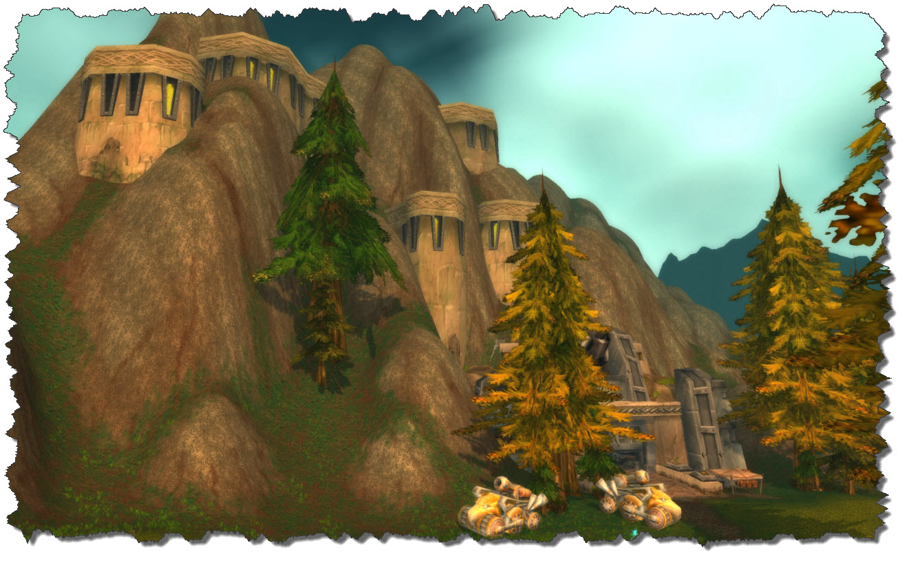
And finally, just a bit to the south-east, lies the former dwarf fortress of Dun Garok – also destroyed and bare of any living dwarf as of the Cataclysm Add-on.

I do have to admit it: Foothills – as the zone was named prior to the merger with Alterac Mountains in the Cataclysm Add-On, I always enjoyed coming there – especially Southend was a neat place to be in, graphically and from a mind-set (not having had a true place to be in Arathi). Now – after Cataclysm changed the entire area dramatically – I rarely return Dragast here… it is just not the same like in the old days…

Posted in World of Warcraft | Tagged | Leave a comment

World of Warcraft: Arathi Highlands

Leaving Wetlands to the north, you are passing the bridge of the Thandol Span. This takes you right onto the small and winding road that runs along the hills and creeks of the Arathi Highlands.

The scenery is lovely – peaceful even, would it not be for the more carnivorous inhabitants of the area: Stalkers and gian Spiders, down here around level 29 upwards. Following the road north, a large basin is opening up to Dragast’s left – and with it a look on the walls of Stormgarde Keep.

For now, young Dragast has been clutching to the road, holding on for dear life and in hope to not cross the path with any of the creatures roaming. The goal is the camp at Refuge Pointe, this is where the Alliance gathers in the Highlands.

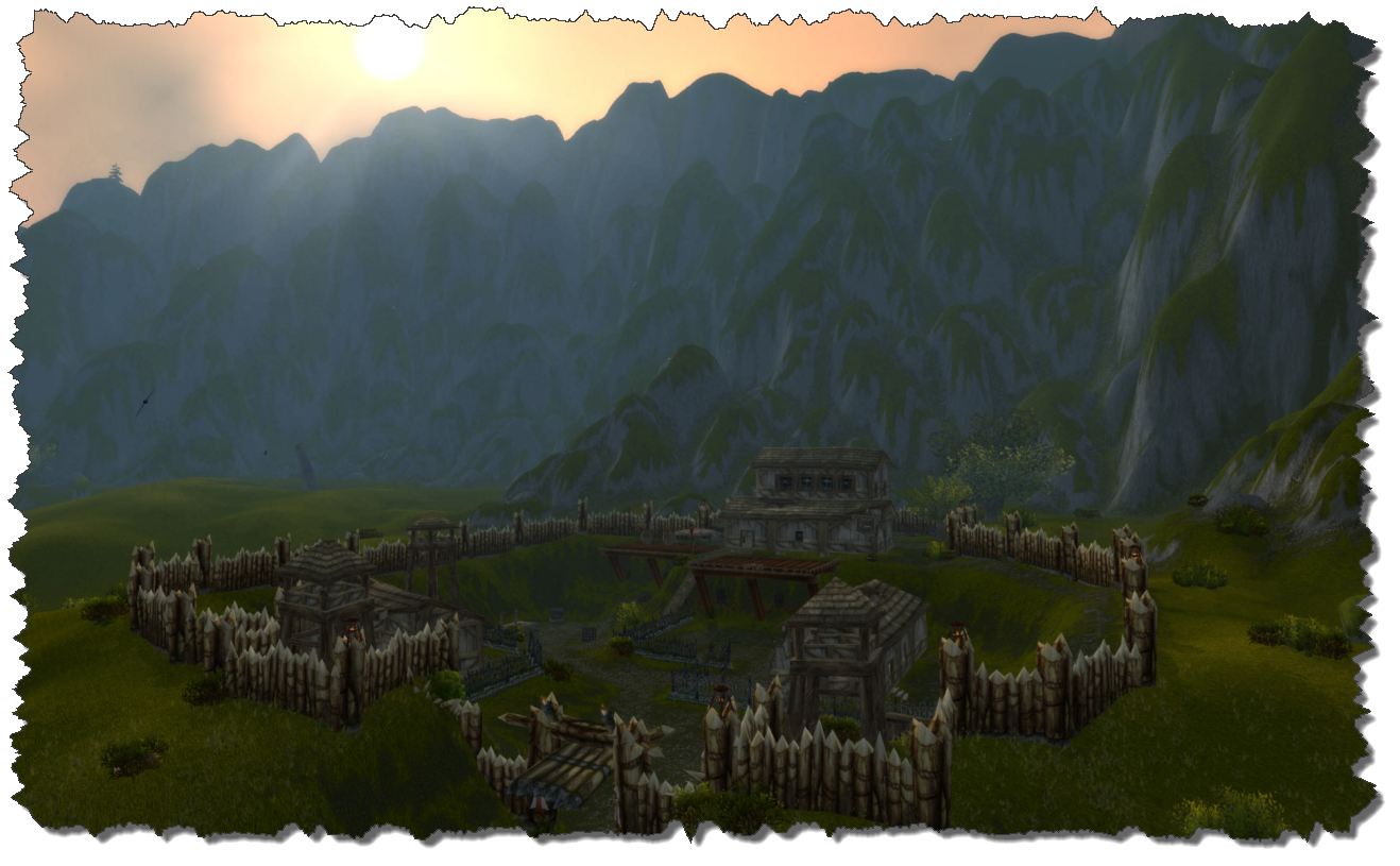
Refuge Pointe is a small valley which just holds a set of huts and tents with the most basic NPCs a player might need – vendors, repair smith, some crafters, etc. It also holds the entrance to the Arathi Highland Battleground (which Dragast never had a chance or urge to visit.

From Refuge Pointe, the first quest can be taken – they are taking Dragast around in Arathi. First, the Ogre population at Boulderfist Hall is receiving an unwelcomed visitor, then Dragast continues into the east, towards Witherbark Village where the Trolls are.

Boulderfist Hall is an Ogre Stronghold build into the hills in the south east.

It is located off the way, coming from Thandol Span so Dragast had to fight his way through the Creepers and Sneakers first before messing up the Ogre population. Not much of a challenge for a young adventurer.

Witherbark Village is situated around a small lake, again in the southeastern section of Arathi. The area consists of the village itself an a larger cave. As long as Dragast has been paying attention to roaming guards, it has never been an issue to “work” that tribe and get some bounty, glory and experience points.

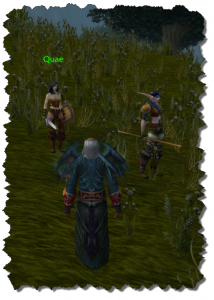
On the edge of the ravine which surrounds Go’Shek’s Farm, two more quest givers can be found – Quae and Kinelory. Both require help in searching the Orc-infested remains for signs of a new plague.

One of the two – I cannot remember which one – gave Dragast a quest to guard and accompany the NPC into the camp itself.

The quest is not difficult – but it requires some discipline. But hey, both NPCs are well above the level of the average Orc that is roaming the compound so Dragast did not really have an issue keeping the chap alive.

The far north-east sees the old fortress of Hammerfall. Being a horde stronghold these days, there is not much Dragast has to do there – except risking a glance while exploring the world.

Halfway between Hammerfall and Dabyrie’s Farm lies the Circle of East Binding, a quest area, which has an equivalent far in the west of Arathi: the Circle of West Binding.

These two – together with the Circle of Outer Binding and the Circle of Inner Binding – form the four elemental circles the mountain giants created to bind Myzrael, an elemental princess.

Dragast must have skipped the quests around these circles – I remember having done them with another character of mine – but they will take you well through the Arathi section which in my eyes is still one or the more beautiful places to be in the old world.

Dabyrie’s Farmstead is inhabited by humans associated with the Alliance – and protected by it’s own Militia. A forlorn place in a forlorn world.

Traveling further west, Dragast came by the aforementioned Circle of Outer Binding – its counterpart, the Circle of Inner Binding lies next to the ruins of Stormgarde Keep.

Venturing further west, the Farmstead once owned by the Northfolds comes into view. Northfold Mannor these days is taken by the Syndicate. Remembering how Dragast got them out of nowhere is fun – they died without ever knowing what had hit them.

In the west, Thoradin’s Wall and its gate guard the entrance to Hillsbrad Foothills, the bordering area. But before we leave, Dragast is paying a final visit to Stormgarde Keep, the ruined capital of the Stormgarde tribe. Much blood has been flowing the streets of this old town, some added by Dragast in search of fame (or experience).

Stormgarde itself is a so called “micro dungeon” although it is an open world territory – other would call it a sub-region. It is entirely enclosed and there is only one way in (and out). The whole area is split into three pieces – one controlled by the Ogres, one controlled by the Syndicate and one controlled by the remains of the Stormgarde Military.

The last place to mention is Faldir’s Cove – a small bay in the southern part of Arathi. The story has  it that three ships entered the bay, two of which were sunk by the Naga. There are quests around this story that Dragast skipped but the undersea area is a neat example for the careful design Blizzard placed on reef areas in the early days, even when they had not been main battlegrounds then.

Dragast – after having skipped most of the adjourning areas like Wetlands and Dun Morogh for their lower level quests – enjoyed hunting in Arathi. Especially the beauty of the open landscape is something that occasionally brings me back here even today but compared to other places, it is more or less “upper third” of my favorite areas to be in.

Posted in World of Warcraft | Tagged | Leave a comment